خانه / مشخصات زلزله
Magnitude |
:2.8 |
| Date & Time (UTC) | 2018-08-16 15:58:35.0 |
| Date & Time (Local) | 1397/5/25 20:28:35.0 |
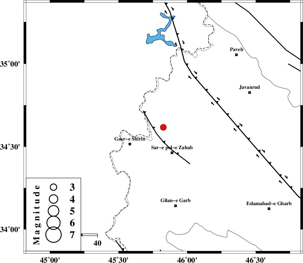
| Location | Lat:34.617 Lon: 45.826 |
| Region | Kermanshah Province, 16 km South of Tazehabad |
Nearest Cities |
|
| 8 km North of Mirmiru, Kermanshah Province | |
| 8 km of Bazmirabad, Kermanshah Province | |
| 11 km of Gardehnu, Kermanshah Province | |
| 15 km North of Qareh belagh, Kermanshah Province | |
| 16 km South of Tazehabad, Kermanshah Province | |
| Depth | 14 km |
| Agency | |
Faults within 150 km: |
|
| MFF8 (Length: 48 km) , Distance to epicenter: 6 km | |
| HZF4 (Length: 492 km) , Distance to epicenter: 40 km | |
| MFF7 (Length: 99 km) , Distance to epicenter: 82 km | |
| Number of Phases | 6 |
| RMS | 0.3 |
| Number of Stations | 4 |
| Error in Latitude | >2.4 km |
| Error in Longitude | 3.5 km |
| Error in Depth | 8.8 km |
Download waveform in seisan format
to download seisan software Click here
to access information about IIEES stations Click here
Amplitude | ||||||||
| UID | Agency | Station | Component | Amplitude | Period | Arrival Time | Proccessing Time | Signal Clip |
| 135930 | IIEES | ILBA | E | 188.9 | 0.38 | 2018-08-16 15:59:16 | 2018-08-20 07:24:00 | n |
| 135931 | IIEES | ILBA | N | 151.3 | 0.38 | 2018-08-16 15:59:18 | 2018-08-20 07:24:00 | n |
| 135932 | IIEES | SRSL | E | 103.6 | 0.47 | 2018-08-16 15:59:29 | 2018-08-20 07:24:00 | n |
| 135933 | IIEES | SRSL | N | 152 | 0.47 | 2018-08-16 15:59:29 | 2018-08-20 07:24:00 | n |
Phase | ||||||||||||
| Agency | Station | Component | Phase Type | Phase Quality | First Motion | Observed Arrival Time | Time Residual | Loc. Flag | Input Weight | Distance | Azimuth | |
| IIEES | ILBA | Z | Pg | E | 2018-08-16 15:58:54 | -0.02 | y | 116 | 162 | |||
| IIEES | SNGE | Z | Pg | E | 2018-08-16 15:58:59 | -0.33 | y | 149 | 69 | |||
| IIEES | SNGE | N | Sg | E | 2018-08-16 15:59:18 | 0.02 | y | 149 | 69 | |||
| IIEES | SRSL | Z | Pg | E | 2018-08-16 15:59:04 | -0.26 | y | 181 | 349 | |||
| IIEES | SRSL | N | Sg | E | 2018-08-16 15:59:26 | 0.22 | y | 181 | 349 | |||
| IIEES | ASAO | Z | Pn | E | 2018-08-16 15:59:31 | 0.46 | y | 385 | 90 | |||
کلیه حقوق مادی و معنوی این سایت متعلق به پژوهشگاه بین المللی زلزله شناسی و مهندسی زلزله می باشد.
