خانه / مشخصات زلزله
Magnitude |
:2.4 |
| Date & Time (UTC) | 2018-10-21 22:45:24.9 |
| Date & Time (Local) | 1397/7/30 02:15:24.9 |
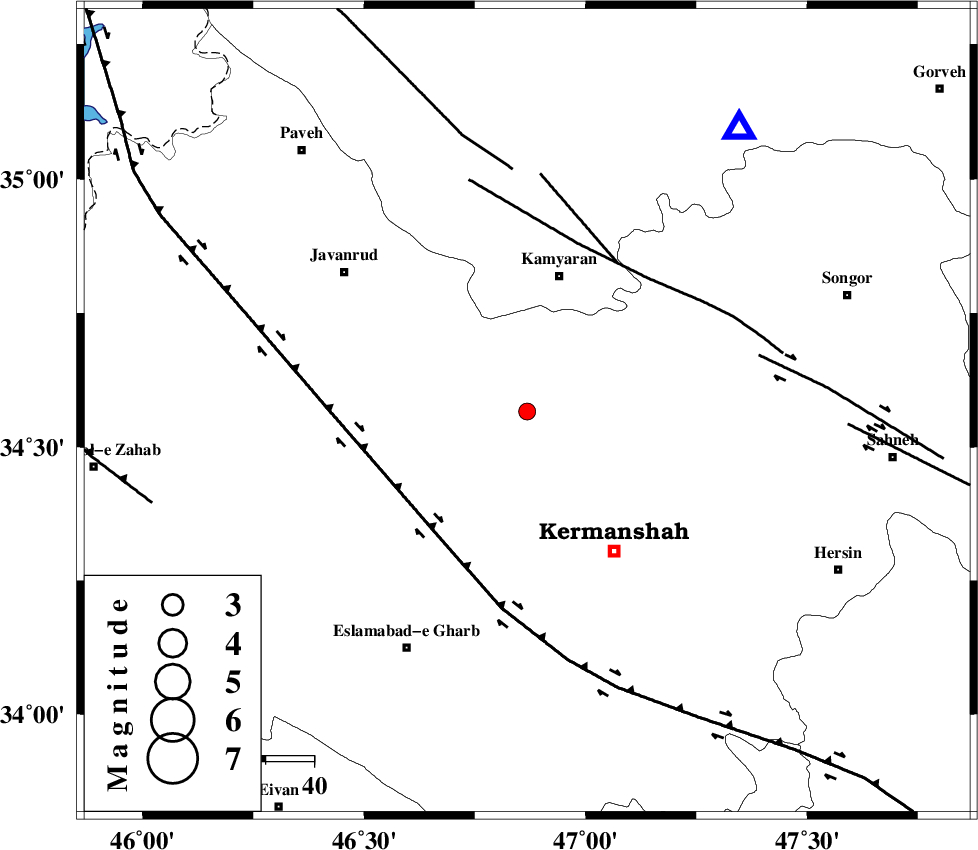
| Location | Lat:34.566 Lon: 46.868 |
| Region | Kermanshah Province, 29 km South of Kamyaran |
Nearest Cities |
|
| 16 km North West of Qazanchi, Kermanshah Province | |
| 17 km East of Hasanabad, Kermanshah Province | |
| 21 km South of Qaleh, Kermanshah Province | |
| 24 km South West of Marzbani, Kermanshah Province | |
| 27 km North East of Kuzran, Kermanshah Province | |
| Depth | 14 km |
| Agency | |
Faults within 150 km: |
|
| HZF4 (Length: 492 km) , Distance to epicenter: 32 km | |
| MORVARID_F (Length: 24 km) , Distance to epicenter: 36 km | |
| SARTAKHT_F (Length: 78 km) , Distance to epicenter: 36 km | |
| Number of Phases | 7 |
| RMS | 0.3 |
| Number of Stations | 5 |
| Error in Latitude | >2.4 km |
| Error in Longitude | 3 km |
| Error in Depth | 6.4 km |
Download waveform in seisan format
to download seisan software Click here
to access information about IIEES stations Click here
Amplitude | ||||||||
| UID | Agency | Station | Component | Amplitude | Period | Arrival Time | Proccessing Time | Signal Clip |
| 137991 | IIEES | ILBA | N | 85.2 | 0.35 | 2018-10-21 22:46:06 | 2018-10-22 07:15:00 | n |
| 137992 | IIEES | SRSL | E | 20.9 | 0.3 | 2018-10-21 22:46:37 | 2018-10-22 07:15:00 | n |
Phase | ||||||||||||
| Agency | Station | Component | Phase Type | Phase Quality | First Motion | Observed Arrival Time | Time Residual | Loc. Flag | Input Weight | Distance | Azimuth | |
| IIEES | SNGE | Z | Pg | E | 2018-10-21 22:45:37 | -0.48 | y | 73.1 | 37 | |||
| IIEES | SNGE | N | Sg | E | 2018-10-21 22:45:47 | 0.3 | y | 73.1 | 37 | |||
| IIEES | ILBA | Z | Pg | E | 2018-10-21 22:45:45 | 0 | y | 121 | 210 | |||
| IIEES | SRSL | Z | Pn | E | 2018-10-21 22:46:01 | 0.41 | y | 224 | 325 | |||
| IIEES | SRSL | N | Sg | E | 2018-10-21 22:46:28 | -0.17 | y | 224 | 325 | |||
| IIEES | ASAO | Z | Pn | E | 2018-10-21 22:46:08 | 0.03 | y | 290 | 89 | |||
| IIEES | KHMZ | Z | Pn | E | 2018-10-21 22:46:09 | -0.09 | y | 300 | 107 | |||
کلیه حقوق مادی و معنوی این سایت متعلق به پژوهشگاه بین المللی زلزله شناسی و مهندسی زلزله می باشد.
