خانه / مشخصات زلزله
Magnitude |
:2.5 |
| Date & Time (UTC) | 2019-03-09 00:59:25.7 |
| Date & Time (Local) | 1397/12/18 04:29:25.7 |
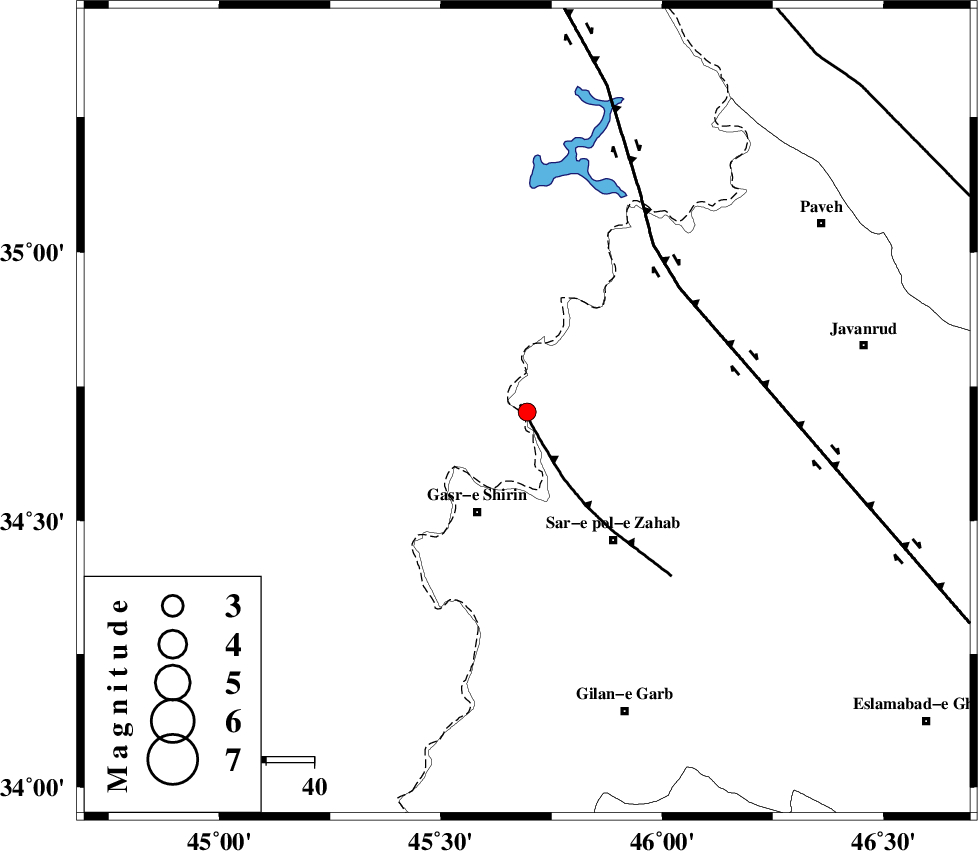
| Location | Lat:34.702 Lon: 45.695 |
| Region | Kermanshah Province, 14 km -West of Tazehabad |
Nearest Cities |
|
| 6 km of Tappeh rash, Kermanshah Province | |
| 10 km West of Gardehnu, Kermanshah Province | |
| 14 km West of Tazehabad, Kermanshah Province | |
| 16 km North of Mirmiru, Kermanshah Province | |
| 18 km North of Aqabarar, Kermanshah Province | |
| Depth | 14 km |
| Agency | |
Faults within 150 km: |
|
| MFF8 (Length: 48 km) , Distance to epicenter: 2 km | |
| HZF4 (Length: 492 km) , Distance to epicenter: 41 km | |
| ZFF4 (Length: 128 km) , Distance to epicenter: 88 km | |
| Number of Phases | 6 |
| RMS | 0.2 |
| Number of Stations | 4 |
| Error in Latitude | >2.2 km |
| Error in Longitude | 3.3 km |
| Error in Depth | 8.2 km |
Download waveform in seisan format
to download seisan software Click here
to access information about IIEES stations Click here
Amplitude | ||||||||
| UID | Agency | Station | Component | Amplitude | Period | Arrival Time | Proccessing Time | Signal Clip |
| 141512 | IIEES | ILBA | E | 91.1 | 0.33 | 2019-03-09 01:00:08 | 2019-03-09 08:25:00 | n |
| 141513 | IIEES | SRSL | N | 78.1 | 0.32 | 2019-03-09 01:00:18 | 2019-03-09 08:25:00 | n |
| 141514 | IIEES | SRSL | E | 47.7 | 0.38 | 2019-03-09 01:00:18 | 2019-03-09 08:25:00 | n |
Phase | ||||||||||||
| Agency | Station | Component | Phase Type | Phase Quality | First Motion | Observed Arrival Time | Time Residual | Loc. Flag | Input Weight | Distance | Azimuth | |
| IIEES | ILBA | Z | EPg | E | 2019-03-09 00:59:47 | 0.07 | y | 128 | 158 | |||
| IIEES | SNGE | Z | EPg | E | 2019-03-09 00:59:51 | -0.39 | y | 157 | 74 | |||
| IIEES | SNGE | N | ESg | E | 2019-03-09 01:00:11 | 0.14 | y | 157 | 74 | |||
| IIEES | SRSL | Z | EPg | E | 2019-03-09 00:59:53 | -0.22 | y | 169 | 352 | |||
| IIEES | SRSL | N | ESg | E | 2019-03-09 01:00:14 | 0.23 | y | 169 | 352 | |||
| IIEES | KHMZ | Z | EPn | E | 2019-03-09 01:00:24 | 0.22 | y | 408 | 104 | |||
کلیه حقوق مادی و معنوی این سایت متعلق به پژوهشگاه بین المللی زلزله شناسی و مهندسی زلزله می باشد.
