خانه / مشخصات زلزله
Magnitude |
:2.5 |
| Date & Time (UTC) | 2019-11-26 16:46:31.6 |
| Date & Time (Local) | 1398/9/5 20:16:31.6 |
| Location | Lat:33.85 Lon: 48.91 |
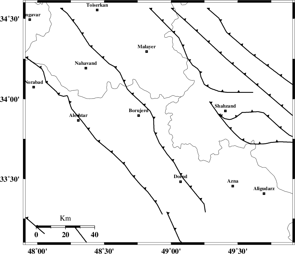
| Region | Lorestan Province, 15 km -East of Borujerd |
Nearest Cities |
|
| 7 km of Valanjerd, Lorestan Province | |
| 11 km North East of Hemmatabad, Lorestan Province | |
| 15 km East of Borujerd, Lorestan Province | |
| 16 km North West of Hashian, Markazi Province | |
| 19 km West of Dehkaeed, Markazi Province | |
| Depth | 10 km |
| Agency | |
Faults within 150 km: |
|
| NAHAVAND_F (Length: 102 km) , Distance to epicenter: 13 km | |
| DORUD (Length: 100 km) , Distance to epicenter: 15 km | |
| MAIN_ZAGROS_R_F (Length: 1106 km) , Distance to epicenter: 42 km | |
| Number of Phases | 8 |
| RMS | 0.6 |
| Number of Stations | 8 |
| Error in Latitude | >4 km |
| Error in Longitude | 0 km |
| Error in Depth | 7 km |
Download waveform in seisan format
to download seisan software Click here
to access information about IIEES stations Click here
Amplitude | ||||||||
| UID | Agency | Station | Component | Amplitude | Period | Arrival Time | Proccessing Time | Signal Clip |
| 149056 | IIEES SC | KHMZ | Z | 86 | 1 | 2019-11-26 16:47:05 | 2019-11-27 12:36:00 | n |
| 149057 | IIEES SC | ASAO | Z | 73 | 1 | 2019-11-26 16:47:18 | 2019-11-27 12:36:00 | n |
| 149058 | IIEES SC | GTMR | Z | 77 | 1 | 2019-11-26 16:47:20 | 2019-11-27 12:36:00 | n |
| 149059 | IIEES SC | GHVR | Z | 330 | 1 | 2019-11-26 16:47:55 | 2019-11-27 12:36:00 | n |
Phase | ||||||||||||
| Agency | Station | Component | Phase Type | Phase Quality | First Motion | Observed Arrival Time | Time Residual | Loc. Flag | Input Weight | Distance | Azimuth | |
| IIEES SC | KHMZ | Z | IP | I | 2019-11-26 16:46:47 | -0.9 | y | 100 | 97 | |||
| IIEES SC | ASAO | N | IS | I | 2019-11-26 16:47:10 | 0.8 | y | 133 | 53 | |||
| IIEES SC | ASAO | Z | IP | I | 2019-11-26 16:46:53 | 0.2 | y | 133 | 53 | |||
| IIEES SC | GTMR | E | IS | I | 2019-11-26 16:47:17 | 0.7 | y | 155 | 173 | |||
| IIEES SC | GTMR | Z | IP | I | 2019-11-26 16:46:56 | -0.6 | y | 155 | 173 | |||
| IIEES SC | QABG | N | IS | I | 2019-11-26 16:47:32 | -0.2 | y | 211 | 17 | |||
| IIEES SC | QABG | Z | IP | I | 2019-11-26 16:47:07 | 0.2 | y | 211 | 17 | |||
| IIEES SC | GHVR | Z | IP | I | 2019-11-26 16:47:08 | 0.3 | y | 222 | 72 | |||
کلیه حقوق مادی و معنوی این سایت متعلق به پژوهشگاه بین المللی زلزله شناسی و مهندسی زلزله می باشد.
