خانه / مشخصات زلزله
Magnitude |
:3.1 |
| Date & Time (UTC) | 2021-04-14 17:17:11.6 |
| Date & Time (Local) | 1400/1/25 21:47:11.6 |
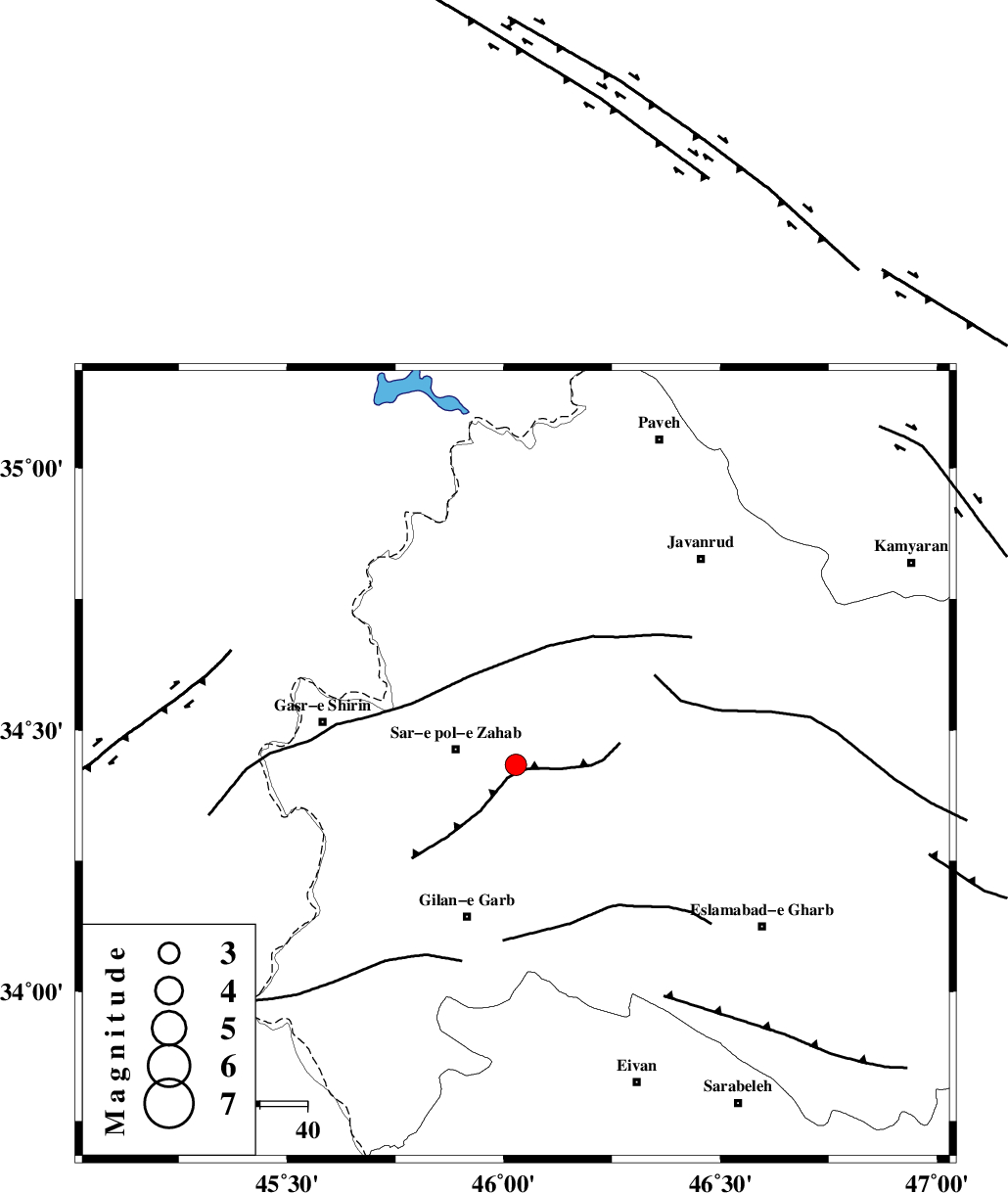
| Location | Lat:34.434 Lon: 46.028 |
| Region | Kermanshah Province, 13 km -East of Sar-e pol-e zahab |
Nearest Cities |
|
| 2 km of Rijab, Kermanshah Province | |
| 10 km North East of Tarkveys, Kermanshah Province | |
| 13 km East of Sar-e pol-e zahab, Kermanshah Province | |
| 20 km North East of Chub baghan, Kermanshah Province | |
| 24 km East of Qareh belagh, Kermanshah Province | |
| Depth | 3 km |
| Agency | |
Faults within 150 km: |
|
| MFF8 (Length: 48 km) , Distance to epicenter: 4 km | |
| HZF4 (Length: 492 km) , Distance to epicenter: 39 km | |
| MFF7 (Length: 99 km) , Distance to epicenter: 65 km | |
| Number of Phases | 8 |
| RMS | 0.4 |
| Number of Stations | 8 |
| Error in Latitude | >3.2 km |
| Error in Longitude | 3.2 km |
| Error in Depth | 10.7 km |
Download waveform in seisan format
to download seisan software Click here
to access information about IIEES stations Click here
Amplitude | ||||||||
| UID | Agency | Station | Component | Amplitude | Period | Arrival Time | Proccessing Time | Signal Clip |
| 162599 | IIEES SC | SNGE | Z | 0.7 | 1 | 2021-04-14 17:17:35 | 2021-04-17 04:32:00 | n |
| 162600 | IIEES SC | MAHB | Z | 0.3 | 1 | 2021-04-14 17:17:53 | 2021-04-17 04:32:00 | n |
| 162601 | IIEES SC | GTMR | Z | 0.07 | 1 | 2021-04-14 17:18:05 | 2021-04-17 04:32:00 | n |
| 162602 | IIEES SC | ASAO | Z | 0.06 | 1 | 2021-04-14 17:18:06 | 2021-04-17 04:32:00 | n |
Phase | ||||||||||||
| Agency | Station | Component | Phase Type | Phase Quality | First Motion | Observed Arrival Time | Time Residual | Loc. Flag | Input Weight | Distance | Azimuth | |
| IIEES SC | ILBA | Z | EPg | E | 2021-04-14 17:17:27 | 0.1 | y | 0 | 91 | 170 | ||
| IIEES SC | SNGE | Z | EPg | E | 2021-04-14 17:17:35 | -0.6 | y | 0 | 141 | 59 | ||
| IIEES SC | MAHB | Z | EPn | E | 2021-04-14 17:17:53 | -0.1 | y | 0 | 260 | 354 | ||
| IIEES SC | QABG | Z | EPn | E | 2021-04-14 17:18:05 | 0.7 | y | 0 | 354 | 66 | ||
| IIEES SC | AZR | Z | EPn | E | 2021-04-14 17:18:05 | 0.3 | y | 0 | 360 | 359 | ||
| IIEES SC | GTMR | Z | EPn | E | 2021-04-14 17:18:05 | -0.3 | y | 0 | 360 | 127 | ||
| IIEES SC | ASAO | Z | EPn | E | 2021-04-14 17:18:06 | 0.2 | y | 0 | 367 | 88 | ||
| IIEES SC | GZV | Z | EPn | E | 2021-04-14 17:18:24 | 8.7 | n | 4 | 438 | 60 | ||
کلیه حقوق مادی و معنوی این سایت متعلق به پژوهشگاه بین المللی زلزله شناسی و مهندسی زلزله می باشد.
