خانه / مشخصات زلزله
Magnitude |
:3.2 |
| Date & Time (UTC) | 2021-10-13 14:21:15.5 |
| Date & Time (Local) | 1400/7/21 17:51:15.5 |
| Location | Lat:34.319 Lon: 45.513 |
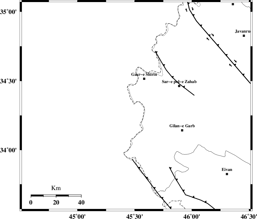
| Region | Iraq, 23 km South of Qasr-E-Shirin |
Nearest Cities |
|
| 10 km of Khosravi, Kermanshah Province | |
| 16 km South of Seyyed sohrab, Kermanshah Province | |
| 23 km South of Qasr-E-Shirin, Kermanshah Province | |
| 29 km South West of Aqabarar, Kermanshah Province | |
| 31 km South West of Qareh belagh, Kermanshah Province | |
| Depth | 15 km |
| Agency | |
Faults within 150 km: |
|
| MFF8 (Length: 48 km) , Distance to epicenter: 37 km | |
| ZFF4 (Length: 128 km) , Distance to epicenter: 43 km | |
| MFF7 (Length: 99 km) , Distance to epicenter: 56 km | |
| Number of Phases | 8 |
| RMS | 0.7 |
| Number of Stations | 8 |
| Error in Latitude | >5 km |
| Error in Longitude | 5 km |
| Error in Depth | 12 km |
Download waveform in seisan format
to download seisan software Click here
to access information about IIEES stations Click here
Amplitude | ||||||||
| UID | Agency | Station | Component | Amplitude | Period | Arrival Time | Proccessing Time | Signal Clip |
| 165912 | IIEES SC | SNGE | Z | 0.5 | 1 | 2021-10-13 14:21:45 | 2021-10-20 06:36:00 | n |
| 165913 | IIEES SC | SNGE | Z | 0.5 | 1 | 2021-10-13 14:22:09 | 2021-10-20 06:36:00 | n |
| 165914 | IIEES SC | GTMR | Z | 0.08 | 1 | 2021-10-13 14:22:11 | 2021-10-20 06:36:00 | n |
| 165915 | IIEES SC | GRMI | Z | 0.02 | 1 | 2021-10-13 14:22:30 | 2021-10-20 06:36:00 | n |
Phase | ||||||||||||
| Agency | Station | Component | Phase Type | Phase Quality | First Motion | Observed Arrival Time | Time Residual | Loc. Flag | Input Weight | Distance | Azimuth | |
| IIEES SC | ILBA | Z | EPg | E | 2021-10-13 14:21:33 | 0.7 | y | 0 | 100 | 140 | ||
| IIEES SC | SNGE | Z | EPg | E | 2021-10-13 14:21:45 | -0.4 | y | 0 | 189 | 63 | ||
| IIEES SC | SNGE | Z | ESg | E | 2021-10-13 14:22:09 | 0.6 | y | 0 | 189 | 63 | ||
| IIEES SC | SRSL | Z | EPn | E | 2021-10-13 14:21:48 | -0.4 | y | 0 | 210 | 358 | ||
| IIEES SC | SRSL | Z | ES | E | 2021-10-13 14:22:14 | 0.7 | y | 0 | 210 | 358 | ||
| IIEES SC | ZNJK | Z | EPn | E | 2021-10-13 14:22:11 | -0.6 | y | 0 | 388 | 48 | ||
| IIEES SC | GTMR | Z | EPn | E | 2021-10-13 14:22:11 | -0.7 | y | 0 | 393 | 121 | ||
| IIEES SC | GRMI | Z | EPn | E | 2021-10-13 14:22:30 | -0.3 | y | 0 | 542 | 23 | ||
کلیه حقوق مادی و معنوی این سایت متعلق به پژوهشگاه بین المللی زلزله شناسی و مهندسی زلزله می باشد.
