خانه / مشخصات زلزله
Magnitude |
:2.9 |
| Date & Time (UTC) | 2017-11-14 03:10:16.9 |
| Date & Time (Local) | 1396/8/23 06:40:16.9 |
| Location | Lat:34.617 Lon: 45.615 |
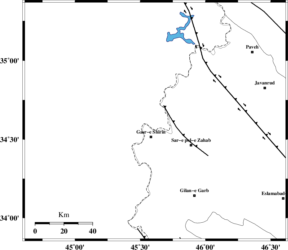
| Region | Iraq, 12 km North of Qasr-E-Shirin |
Nearest Cities |
|
| 9 km North of Aqabarar, Kermanshah Province | |
| 12 km North of Qasr-E-Shirin, Kermanshah Province | |
| 15 km North West of Mirmiru, Kermanshah Province | |
| 18 km South West of Tappeh rash, Kermanshah Province | |
| 19 km North of Seyyed sohrab, Kermanshah Province | |
| Depth | 14 km |
| Agency | |
Faults within 150 km: |
|
| MFF8 (Length: 48 km) , Distance to epicenter: 11 km | |
| HZF4 (Length: 492 km) , Distance to epicenter: 52 km | |
| ZFF4 (Length: 128 km) , Distance to epicenter: 77 km | |
| Number of Phases | 6 |
| RMS | 0.3 |
| Number of Stations | 4 |
| Error in Latitude | >3.2 km |
| Error in Longitude | 7.5 km |
| Error in Depth | 9.7 km |
Download waveform in seisan format
to download seisan software Click here
to access information about IIEES stations Click here
Amplitude | ||||||||
| UID | Agency | Station | Component | Amplitude | Period | Arrival Time | Proccessing Time | Signal Clip |
| 121548 | IIEES | SNGE | N | 160.2 | 0.32 | 2017-11-14 03:11:08 | 2017-11-14 07:02:00 | n |
| 121549 | IIEES | SNGE | E | 152.7 | 0.32 | 2017-11-14 03:11:10 | 2017-11-14 07:02:00 | n |
| 121550 | IIEES | ASAO | E | 12.5 | 0.84 | 2017-11-14 03:12:16 | 2017-11-14 07:02:00 | n |
| 121551 | IIEES | ASAO | N | 15.3 | 0.68 | 2017-11-14 03:12:25 | 2017-11-14 07:02:00 | n |
Phase | ||||||||||||
| Agency | Station | Component | Phase Type | Phase Quality | First Motion | Observed Arrival Time | Time Residual | Loc. Flag | Input Weight | Distance | Azimuth | |
| IIEES | ILBA | Z | Pg | E | 2017-11-14 03:10:37 | 0.33 | y | 123 | 153 | |||
| IIEES | ILBA | N | Sg | E | 2017-11-14 03:10:52 | -0.29 | y | 123 | 153 | |||
| IIEES | SNGE | Z | Pg | E | 2017-11-14 03:10:44 | -0.25 | y | 167 | 71 | |||
| IIEES | SNGE | N | Sg | E | 2017-11-14 03:11:04 | 0.08 | y | 167 | 71 | |||
| IIEES | ASAO | Z | Pn | E | 2017-11-14 03:11:15 | 0.38 | y | 405 | 90 | |||
| IIEES | GRMI | Z | Pn | E | 2017-11-14 03:11:27 | -0.26 | y | 508 | 23 | |||
کلیه حقوق مادی و معنوی این سایت متعلق به پژوهشگاه بین المللی زلزله شناسی و مهندسی زلزله می باشد.
