خانه / مشخصات زلزله
Magnitude |
:2.8 |
| Date & Time (UTC) | 2018-10-14 10:35:16.7 |
| Date & Time (Local) | 1397/7/22 14:05:16.7 |
| Location | Lat:34.801 Lon: 45.795 |
| Region | Kermanshah Province, 5 km of Tazehabad |
Nearest Cities |
|
| 5 km North of Tazehabad, Kermanshah Province | |
| 8 km North of Tappeh rash, Kermanshah Province | |
| 10 km North of Gardehnu, Kermanshah Province | |
| 17 km West of Dehsheykh, Kermanshah Province | |
| 22 km North West of Bazmirabad, Kermanshah Province | |
| Depth | 14 km |
| Agency | |
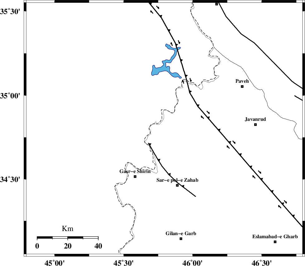
Faults within 150 km: |
|
| MFF8 (Length: 48 km) , Distance to epicenter: 14 km | |
| HZF4 (Length: 492 km) , Distance to epicenter: 27 km | |
| PIRANSHAHR_F (Length: 253 km) , Distance to epicenter: 81 km | |
| Number of Phases | 6 |
| RMS | 0.2 |
| Number of Stations | 4 |
| Error in Latitude | >1.5 km |
| Error in Longitude | 2.8 km |
| Error in Depth | 6.3 km |
Download waveform in seisan format
to download seisan software Click here
to access information about IIEES stations Click here
Amplitude | ||||||||
| UID | Agency | Station | Component | Amplitude | Period | Arrival Time | Proccessing Time | Signal Clip |
| 137788 | IIEES | ILBA | E | 256.7 | 0.44 | 2018-10-14 10:35:59 | 2018-10-16 08:25:00 | n |
| 137789 | IIEES | ILBA | N | 153.6 | 0.38 | 2018-10-14 10:36:04 | 2018-10-16 08:25:00 | n |
| 137790 | IIEES | SRSL | N | 97.4 | 0.43 | 2018-10-14 10:36:07 | 2018-10-16 08:25:00 | n |
| 137791 | IIEES | SRSL | E | 118.1 | 0.39 | 2018-10-14 10:36:08 | 2018-10-16 08:25:00 | n |
Phase | ||||||||||||
| Agency | Station | Component | Phase Type | Phase Quality | First Motion | Observed Arrival Time | Time Residual | Loc. Flag | Input Weight | Distance | Azimuth | |
| IIEES | ILBA | Z | Pg | E | 2018-10-14 10:35:39 | -0.1 | y | 136 | 164 | |||
| IIEES | ILBA | N | Sg | E | 2018-10-14 10:35:56 | 0.13 | y | 136 | 164 | |||
| IIEES | SNGE | Z | Pg | E | 2018-10-14 10:35:40 | -0.33 | y | 145 | 77 | |||
| IIEES | SNGE | N | Sg | E | 2018-10-14 10:35:58 | 0.18 | y | 145 | 77 | |||
| IIEES | SRSL | Z | Pg | E | 2018-10-14 10:35:43 | 0.12 | y | 160 | 348 | |||
| IIEES | ZNJK | Z | Pn | E | 2018-10-14 10:36:06 | 0 | y | 334 | 51 | |||
کلیه حقوق مادی و معنوی این سایت متعلق به پژوهشگاه بین المللی زلزله شناسی و مهندسی زلزله می باشد.
