خانه / مشخصات زلزله
Magnitude |
:2.6 |
| Date & Time (UTC) | 2018-10-15 20:37:44.4 |
| Date & Time (Local) | 1397/7/24 00:07:44.4 |
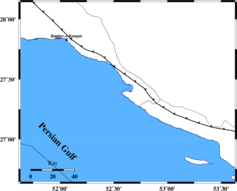
| Location | Lat:27.393 Lon: 52.631 |
| Region | Bushehr Province, 31 km South-West of Mehr |
Nearest Cities |
|
| 9 km of Bandar-e asaluyeh, Bushehr Province | |
| 16 km North West of Chah-e mobarak, Bushehr Province | |
| 28 km South West of Ardavan-e olia, Fars Province | |
| 30 km South of Gallehdar, Fars Province | |
| 31 km South West of Mehr, Fars Province | |
| Depth | 14 km |
| Agency | |
Faults within 150 km: |
|
| MFF3 (Length: 292 km) , Distance to epicenter: 15 km | |
| QIR_F (Length: 130 km) , Distance to epicenter: 117 km | |
| BORAZJAN_F (Length: 168 km) , Distance to epicenter: 123 km | |
| Number of Phases | 5 |
| RMS | 0.2 |
| Number of Stations | 3 |
| Error in Latitude | >5 km |
| Error in Longitude | 3.2 km |
| Error in Depth | 6.6 km |
Download waveform in seisan format
to download seisan software Click here
to access information about IIEES stations Click here
Amplitude | ||||||||
| UID | Agency | Station | Component | Amplitude | Period | Arrival Time | Proccessing Time | Signal Clip |
| 137835 | IIEES | GHIR | N | 224.8 | 0.29 | 2018-10-15 20:38:23 | 2018-10-16 11:58:00 | n |
| 137836 | IIEES | GHIR | E | 160.4 | 0.58 | 2018-10-15 20:38:25 | 2018-10-16 11:58:00 | n |
| 137837 | IIEES | NASN | E | 1.6 | 0.36 | 2018-10-15 20:40:13 | 2018-10-16 11:58:00 | n |
Phase | ||||||||||||
| Agency | Station | Component | Phase Type | Phase Quality | First Motion | Observed Arrival Time | Time Residual | Loc. Flag | Input Weight | Distance | Azimuth | |
| IIEES | GHIR | Z | Pg | E | 2018-10-15 20:38:02 | -0.1 | y | 105 | 19 | |||
| IIEES | GHIR | N | S | E | 2018-10-15 20:38:15 | 0.13 | y | 105 | 19 | |||
| IIEES | AHRM | Z | Pn | E | 2018-10-15 20:38:18 | 0.26 | y | 209 | 322 | |||
| IIEES | AHRM | N | Sg | E | 2018-10-15 20:38:43 | -0.08 | y | 209 | 322 | |||
| IIEES | NASN | Z | Pn | E | 2018-10-15 20:39:06 | -0.38 | y | 600 | 2 | |||
کلیه حقوق مادی و معنوی این سایت متعلق به پژوهشگاه بین المللی زلزله شناسی و مهندسی زلزله می باشد.
