خانه / مشخصات زلزله
Magnitude |
:3.5 |
| Date & Time (UTC) | 2018-11-21 07:47:03.9 |
| Date & Time (Local) | 1397/8/30 11:17:03.9 |
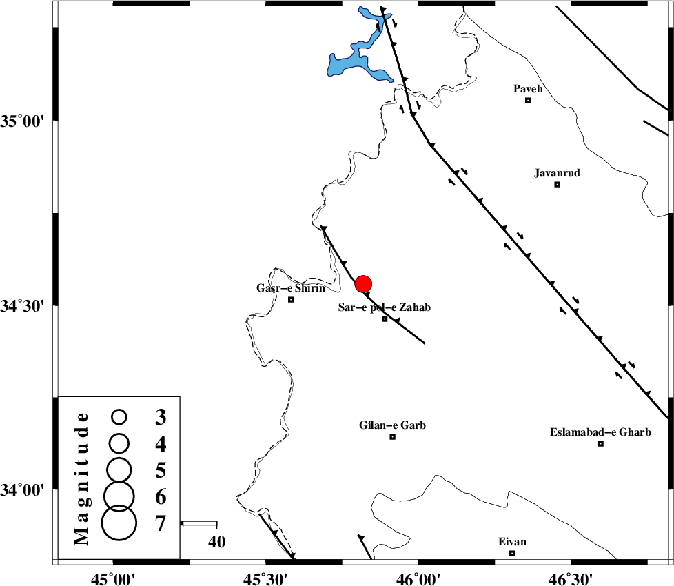
| Location | Lat:34.558 Lon: 45.819 |
| Region | Kermanshah Province, 12 km of Sar-e pol-e zahab |
Nearest Cities |
|
| 5 km of Mirmiru, Kermanshah Province | |
| 9 km North of Qareh belagh, Kermanshah Province | |
| 12 km of Bazmirabad, Kermanshah Province | |
| 12 km North of Sar-e pol-e zahab, Kermanshah Province | |
| 14 km North East of Aqabarar, Kermanshah Province | |
| Depth | 15 km |
| Agency | |
Faults within 150 km: |
|
| MFF8 (Length: 48 km) , Distance to epicenter: 3 km | |
| HZF4 (Length: 492 km) , Distance to epicenter: 43 km | |
| MFF7 (Length: 99 km) , Distance to epicenter: 76 km | |
| Number of Phases | 10 |
| RMS | 0.5 |
| Number of Stations | 7 |
| Error in Latitude | >2.5 km |
| Error in Longitude | 5.5 km |
| Error in Depth | 8.1 km |
Download waveform in seisan format
to download seisan software Click here
to access information about IIEES stations Click here
Amplitude | ||||||||
| UID | Agency | Station | Component | Amplitude | Period | Arrival Time | Proccessing Time | Signal Clip |
| 138564 | IIEES | ILBA | N | 2189.7 | 0.36 | 2018-11-21 07:47:38 | 2018-11-21 08:50:00 | n |
| 138565 | IIEES | ILBA | E | 2165.3 | 0.32 | 2018-11-21 07:47:41 | 2018-11-21 08:50:00 | n |
| 138566 | IIEES | GHVR | E | 17 | 0.57 | 2018-11-21 07:49:41 | 2018-11-21 08:50:00 | n |
| 138567 | IIEES | GHVR | N | 15.1 | 0.43 | 2018-11-21 07:49:48 | 2018-11-21 08:50:00 | n |
Phase | ||||||||||||
| Agency | Station | Component | Phase Type | Phase Quality | First Motion | Observed Arrival Time | Time Residual | Loc. Flag | Input Weight | Distance | Azimuth | |
| IIEES | ILBA | Z | Pg | E | 2018-11-21 07:47:22 | -0.34 | y | 110 | 161 | |||
| IIEES | ILBA | N | Sg | E | 2018-11-21 07:47:36 | 0.16 | y | 110 | 161 | |||
| IIEES | SNGE | Z | Pg | E | 2018-11-21 07:47:28 | -0.29 | y | 152 | 67 | |||
| IIEES | SNGE | N | Sg | E | 2018-11-21 07:47:47 | -0.21 | y | 152 | 67 | |||
| IIEES | SRSL | Z | Pg | E | 2018-11-21 07:47:34 | -0.55 | y | 187 | 349 | |||
| IIEES | SRSL | E | Sg | E | 2018-11-21 07:47:57 | 0.4 | y | 187 | 349 | |||
| IIEES | ZNJK | Z | Pn | E | 2018-11-21 07:47:55 | 0.29 | y | 350 | 47 | |||
| IIEES | KHMZ | Z | Pn | E | 2018-11-21 07:48:00 | -0.4 | y | 393 | 102 | |||
| IIEES | GHVR | Z | Pn | E | 2018-11-21 07:48:14 | 1 | y | 498 | 89 | |||
| IIEES | NASN | Z | Pn | E | 2018-11-21 07:48:36 | 0.52 | y | 677 | 105 | |||
کلیه حقوق مادی و معنوی این سایت متعلق به پژوهشگاه بین المللی زلزله شناسی و مهندسی زلزله می باشد.
