خانه / مشخصات زلزله
Magnitude |
:3.4 |
| Date & Time (UTC) | 2019-01-16 00:50:00.9 |
| Date & Time (Local) | 1397/10/26 04:20:00.9 |
| Location | Lat:34.632 Lon: 45.488 |
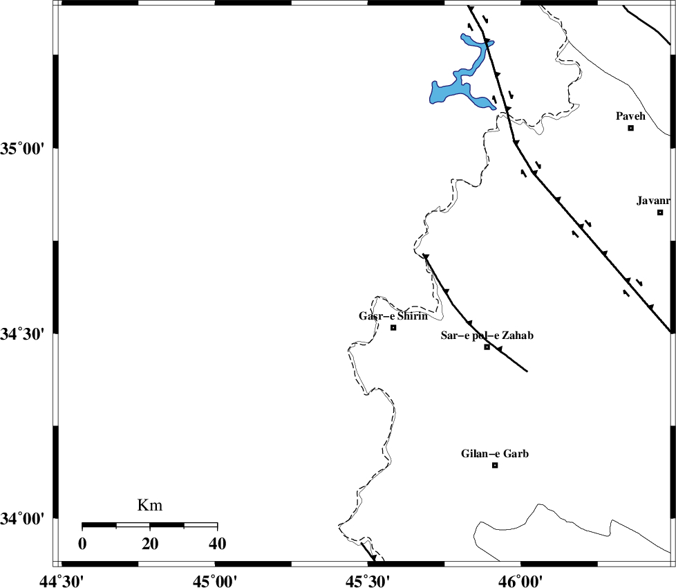
| Region | Iraq, 16 km North of Qasr-E-Shirin |
Nearest Cities |
|
| 16 km North of Qasr-E-Shirin, Kermanshah Province | |
| 19 km North West of Aqabarar, Kermanshah Province | |
| 23 km North West of Seyyed sohrab, Kermanshah Province | |
| 25 km South West of Tappeh rash, Kermanshah Province | |
| 26 km North of Khosravi, Kermanshah Province | |
| Depth | 14 km |
| Agency | |
Faults within 150 km: |
|
| MFF8 (Length: 48 km) , Distance to epicenter: 20 km | |
| HZF4 (Length: 492 km) , Distance to epicenter: 60 km | |
| ZFF4 (Length: 128 km) , Distance to epicenter: 78 km | |
| Number of Phases | 8 |
| RMS | 0.4 |
| Number of Stations | 6 |
| Error in Latitude | >3.2 km |
| Error in Longitude | 5.3 km |
| Error in Depth | 7.6 km |
Download waveform in seisan format
to download seisan software Click here
to access information about IIEES stations Click here
Amplitude | ||||||||
| UID | Agency | Station | Component | Amplitude | Period | Arrival Time | Proccessing Time | Signal Clip |
| 140195 | IIEES | SRSL | E | 514.9 | 0.29 | 2019-01-16 00:50:53 | 2019-01-16 07:21:00 | n |
| 140196 | IIEES | SRSL | N | 758.1 | 0.4 | 2019-01-16 00:50:54 | 2019-01-16 07:21:00 | n |
| 140197 | IIEES | SNGE | E | 245.4 | 0.51 | 2019-01-16 00:50:55 | 2019-01-16 07:21:00 | n |
Phase | ||||||||||||
| Agency | Station | Component | Phase Type | Phase Quality | First Motion | Observed Arrival Time | Time Residual | Loc. Flag | Input Weight | Distance | Azimuth | |
| IIEES | ILBA | Z | Pg | E | 2019-01-16 00:50:22 | 0.19 | y | 130 | 149 | |||
| IIEES | SRSL | Z | Pg | E | 2019-01-16 00:50:29 | -0.14 | y | 175 | 358 | |||
| IIEES | SRSL | N | Sg | E | 2019-01-16 00:50:51 | 0.11 | y | 175 | 358 | |||
| IIEES | SNGE | Z | Pg | E | 2019-01-16 00:50:29 | -0.45 | y | 178 | 73 | |||
| IIEES | SNGE | N | Sg | E | 2019-01-16 00:50:51 | 0.15 | y | 178 | 73 | |||
| IIEES | ZNJK | Z | Pn | E | 2019-01-16 00:50:54 | 0.24 | y | 367 | 51 | |||
| IIEES | ASAO | Z | Pn | E | 2019-01-16 00:51:01 | 0.58 | y | 416 | 90 | |||
| IIEES | KHMZ | Z | Pn | E | 2019-01-16 00:51:00 | -0.68 | y | 424 | 102 | |||
کلیه حقوق مادی و معنوی این سایت متعلق به پژوهشگاه بین المللی زلزله شناسی و مهندسی زلزله می باشد.
