خانه / مشخصات زلزله
Magnitude |
:2.6 |
| Date & Time (UTC) | 2019-01-26 03:48:11.4 |
| Date & Time (Local) | 1397/11/6 07:18:11.4 |
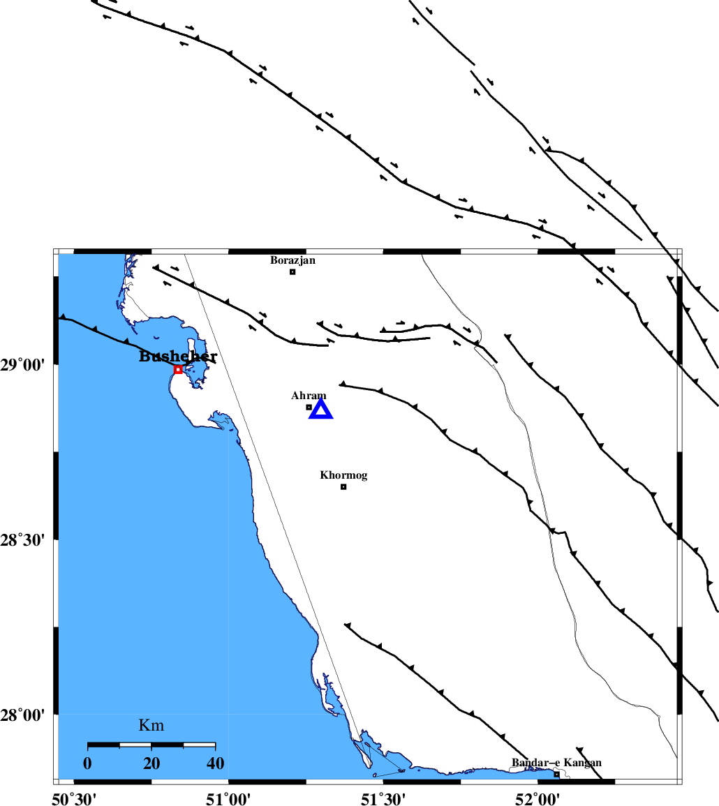
| Location | Lat:28.563 Lon: 51.45 |
| Region | Bushehr Province, 12 km of Khormog |
Nearest Cities |
|
| 8 km of Buheyri, Bushehr Province | |
| 12 km of Khormog, Bushehr Province | |
| 19 km North of Baduleh, Bushehr Province | |
| 22 km East of Derazi, Bushehr Province | |
| 26 km North of Kaki, Bushehr Province | |
| Depth | 16 km |
| Agency | |
Faults within 150 km: |
|
| BORAZJAN_F (Length: 168 km) , Distance to epicenter: 8 km | |
| MFF5 (Length: 74 km) , Distance to epicenter: 11 km | |
| ZFF2 (Length: 84 km) , Distance to epicenter: 31 km | |
| Number of Phases | 5 |
| RMS | 0.1 |
| Number of Stations | 4 |
| Error in Latitude | >8.4 km |
| Error in Longitude | 6.4 km |
| Error in Depth | 4.5 km |
Download waveform in seisan format
to download seisan software Click here
to access information about IIEES stations Click here
Amplitude | ||||||||
| UID | Agency | Station | Component | Amplitude | Period | Arrival Time | Proccessing Time | Signal Clip |
| 140542 | IIEES | AHRM | N | 487.8 | 0.56 | 2019-01-26 03:48:34 | 2019-01-27 08:38:00 | n |
| 140543 | IIEES | GHIR | N | 127.8 | 0.41 | 2019-01-26 03:49:01 | 2019-01-27 08:38:00 | n |
Phase | ||||||||||||
| Agency | Station | Component | Phase Type | Phase Quality | First Motion | Observed Arrival Time | Time Residual | Loc. Flag | Input Weight | Distance | Azimuth | |
| IIEES | AHRM | Z | Pg | E | 2019-01-26 03:48:18 | 0 | y | 36.7 | 336 | |||
| IIEES | GHIR | Z | Pg | E | 2019-01-26 03:48:36 | -0.01 | y | 154 | 101 | |||
| IIEES | GHIR | N | Sg | E | 2019-01-26 03:48:55 | 0.01 | y | 154 | 101 | |||
| IIEES | NASN | Z | Pn | E | 2019-01-26 03:49:19 | 0.08 | y | 487 | 15 | |||
| IIEES | YZKH | Z | Pn | E | 2019-01-26 03:49:23 | -0.09 | y | 521 | 35 | |||
کلیه حقوق مادی و معنوی این سایت متعلق به پژوهشگاه بین المللی زلزله شناسی و مهندسی زلزله می باشد.
