خانه / مشخصات زلزله
Magnitude |
:3.2 |
| Date & Time (UTC) | 2019-01-29 06:07:20.2 |
| Date & Time (Local) | 1397/11/9 09:37:20.2 |
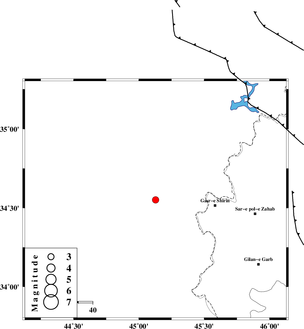
| Location | Lat:34.552 Lon: 45.128 |
| Region | Iraq, 42 km -West of Qasr-E-Shirin |
Nearest Cities |
|
| 36 km North West of Khosravi, Kermanshah Province | |
| 42 km North West of Qasr-E-Shirin, Kermanshah Province | |
| 44 km North West of Seyyed sohrab, Kermanshah Province | |
| 49 km North West of Aqabarar, Kermanshah Province | |
| 59 km West of Mirmiru, Kermanshah Province | |
| Depth | 17 km |
| Agency | |
Faults within 150 km: |
|
| MFF8 (Length: 48 km) , Distance to epicenter: 54 km | |
| ZFF4 (Length: 128 km) , Distance to epicenter: 76 km | |
| HZF4 (Length: 492 km) , Distance to epicenter: 93 km | |
| Number of Phases | 5 |
| RMS | 0.2 |
| Number of Stations | 3 |
| Error in Latitude | >2 km |
| Error in Longitude | 3.6 km |
| Error in Depth | 5.8 km |
Download waveform in seisan format
to download seisan software Click here
to access information about IIEES stations Click here
Amplitude | ||||||||
| UID | Agency | Station | Component | Amplitude | Period | Arrival Time | Proccessing Time | Signal Clip |
| 140658 | IIEES | ILBA | N | 494.8 | 0.28 | 2019-01-29 06:08:04 | 2019-01-30 08:05:00 | n |
| 140659 | IIEES | SRSL | E | 181.8 | 0.45 | 2019-01-29 06:08:17 | 2019-01-30 08:05:00 | n |
| 140660 | IIEES | SRSL | N | 207.4 | 0.39 | 2019-01-29 06:08:20 | 2019-01-30 08:05:00 | n |
Phase | ||||||||||||
| Agency | Station | Component | Phase Type | Phase Quality | First Motion | Observed Arrival Time | Time Residual | Loc. Flag | Input Weight | Distance | Azimuth | |
| IIEES | ILBA | Z | Pg | E | 2019-01-29 06:07:44 | 0.11 | y | 143 | 136 | |||
| IIEES | SRSL | Z | Pg | E | 2019-01-29 06:07:50 | -0.28 | y | 186 | 8 | |||
| IIEES | SRSL | E | Sg | E | 2019-01-29 06:08:13 | 0.23 | y | 186 | 8 | |||
| IIEES | SNGE | Z | Pn | E | 2019-01-29 06:07:54 | 0 | y | 212 | 73 | |||
| IIEES | SNGE | N | Sg | E | 2019-01-29 06:08:20 | -0.06 | y | 212 | 73 | |||
کلیه حقوق مادی و معنوی این سایت متعلق به پژوهشگاه بین المللی زلزله شناسی و مهندسی زلزله می باشد.
