خانه / مشخصات زلزله
Magnitude |
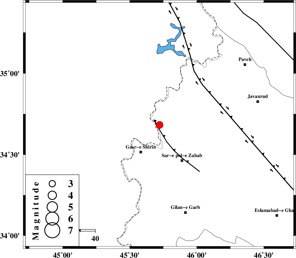
:3.4 |
| Date & Time (UTC) | 2019-02-16 06:01:22.0 |
| Date & Time (Local) | 1397/11/27 09:31:22.0 |
| Location | Lat:34.683 Lon: 45.722 |
| Region | Kermanshah Province, 13 km -West of Tazehabad |
Nearest Cities |
|
| 8 km of Tappeh rash, Kermanshah Province | |
| 8 km of Gardehnu, Kermanshah Province | |
| 13 km West of Tazehabad, Kermanshah Province | |
| 14 km North of Mirmiru, Kermanshah Province | |
| 16 km North of Aqabarar, Kermanshah Province | |
| Depth | 14 km |
| Agency | |
Faults within 150 km: |
|
| MFF8 (Length: 48 km) , Distance to epicenter: 4 km | |
| HZF4 (Length: 492 km) , Distance to epicenter: 40 km | |
| ZFF4 (Length: 128 km) , Distance to epicenter: 86 km | |
| Number of Phases | 8 |
| RMS | 0.3 |
| Number of Stations | 6 |
| Error in Latitude | >2.1 km |
| Error in Longitude | 6.7 km |
| Error in Depth | 6.5 km |
Download waveform in seisan format
to download seisan software Click here
to access information about IIEES stations Click here
Amplitude | ||||||||
| UID | Agency | Station | Component | Amplitude | Period | Arrival Time | Proccessing Time | Signal Clip |
| 141172 | IIEES | SNGE | E | 472.5 | 0.33 | 2019-02-16 06:02:13 | 2019-02-17 06:53:00 | n |
| 141173 | IIEES | SNGE | N | 723.7 | 0.52 | 2019-02-16 06:02:14 | 2019-02-17 06:53:00 | n |
| 141174 | IIEES | SRSL | N | 403.5 | 0.36 | 2019-02-16 06:02:15 | 2019-02-17 06:53:00 | n |
Phase | ||||||||||||
| Agency | Station | Component | Phase Type | Phase Quality | First Motion | Observed Arrival Time | Time Residual | Loc. Flag | Input Weight | Distance | Azimuth | |
| IIEES | ILBA | Z | EPg | E | 2019-02-16 06:01:43 | -0.02 | y | 126 | 159 | |||
| IIEES | ILBA | N | ESg | E | 2019-02-16 06:01:58 | 0.14 | y | 126 | 159 | |||
| IIEES | SNGE | Z | EPg | E | 2019-02-16 06:01:47 | -0.18 | y | 155 | 73 | |||
| IIEES | SRSL | Z | EPg | E | 2019-02-16 06:01:50 | -0.43 | y | 172 | 351 | |||
| IIEES | SRSL | N | ESg | E | 2019-02-16 06:02:11 | 0.37 | y | 172 | 351 | |||
| IIEES | ASAO | Z | EPn | E | 2019-02-16 06:02:19 | 0.38 | y | 395 | 91 | |||
| IIEES | KHMZ | Z | EPn | E | 2019-02-16 06:02:19 | -0.23 | y | 405 | 104 | |||
| IIEES | GRMI | Z | EPn | E | 2019-02-16 06:02:31 | 0.01 | y | 497 | 22 | |||
کلیه حقوق مادی و معنوی این سایت متعلق به پژوهشگاه بین المللی زلزله شناسی و مهندسی زلزله می باشد.
