خانه / مشخصات زلزله
Magnitude |
:2.5 |
| Date & Time (UTC) | 2019-10-01 11:24:24.2 |
| Date & Time (Local) | 1398/7/9 14:54:24.2 |
| Location | Lat:34.63 Lon: 46.23 |
| Region | Kermanshah Province, 30 km South-West of Javanrud |
Nearest Cities |
|
| 9 km of Mirabad, Kermanshah Province | |
| 12 km of Qolqoleh, Kermanshah Province | |
| 17 km North of Zavleh olia, Kermanshah Province | |
| 23 km West of Dolatabad, Kermanshah Province | |
| 24 km South of Shervineh, Kermanshah Province | |
| Depth | 14 km |
| Agency | |
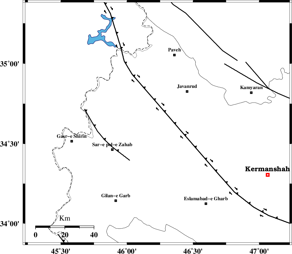
Faults within 150 km: |
|
| HZF4 (Length: 492 km) , Distance to epicenter: 14 km | |
| MFF8 (Length: 48 km) , Distance to epicenter: 32 km | |
| SARTAKHT_F (Length: 78 km) , Distance to epicenter: 62 km | |
| Number of Phases | 5 |
| RMS | 0.5 |
| Number of Stations | 5 |
| Error in Latitude | >0 km |
| Error in Longitude | 0 km |
| Error in Depth | 63 km |
Download waveform in seisan format
to download seisan software Click here
to access information about IIEES stations Click here
Amplitude | ||||||||
| UID | Agency | Station | Component | Amplitude | Period | Arrival Time | Proccessing Time | Signal Clip |
| 146033 | IIEES SC | KGS1 | Z | 230 | 1 | 2019-10-01 11:24:45 | 2019-10-02 07:48:00 | n |
| 146034 | IIEES SC | SNGE | Z | 63 | 1 | 2019-10-01 11:24:59 | 2019-10-02 07:48:00 | n |
| 146035 | IIEES SC | SRSL | Z | 45 | 1 | 2019-10-01 11:25:24 | 2019-10-02 07:48:00 | n |
Phase | ||||||||||||
| Agency | Station | Component | Phase Type | Phase Quality | First Motion | Observed Arrival Time | Time Residual | Loc. Flag | Input Weight | Distance | Azimuth | |
| IIEES SC | KGS1 | N | IS | I | 2019-10-01 11:24:42 | -0.1 | y | 55 | 257 | |||
| IIEES SC | KGS1 | Z | IP | I | 2019-10-01 11:24:34 | -0.3 | y | 55 | 257 | |||
| IIEES SC | SNGE | N | IP | I | 2019-10-01 11:24:44 | 0.8 | y | 111 | 63 | |||
| IIEES SC | SNGE | N | IS | I | 2019-10-01 11:24:57 | -0.7 | y | 111 | 63 | |||
| IIEES SC | SRSL | N | IP | I | 2019-10-01 11:24:55 | 0.3 | y | 189 | 338 | |||
کلیه حقوق مادی و معنوی این سایت متعلق به پژوهشگاه بین المللی زلزله شناسی و مهندسی زلزله می باشد.
