خانه / مشخصات زلزله
Magnitude |
:2.5 |
| Date & Time (UTC) | 2019-10-12 10:15:04.4 |
| Date & Time (Local) | 1398/7/20 13:45:04.4 |
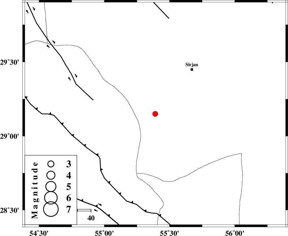
| Location | Lat:29.15 Lon: 55.39 |
| Region | Kerman Province, 43 km South-West of Sirjan |
Nearest Cities |
|
| 40 km South West of Sharifabad, Kerman Province | |
| 41 km South West of Najafabad, Kerman Province | |
| 43 km South West of Sirjan, Kerman Province | |
| 45 km South West of Malekabad, Kerman Province | |
| 48 km South West of Mahmud Abad, Kerman Province | |
| Depth | 14 km |
| Agency | |
Faults within 150 km: |
|
| SHAHR_E_BABAK_F1 (Length: 392 km) , Distance to epicenter: 47 km | |
| MAIN_ZAGROS_R_F (Length: 1106 km) , Distance to epicenter: 53 km | |
| SHAHR_E_BABAK_F2 (Length: 272 km) , Distance to epicenter: 72 km | |
| Number of Phases | 5 |
| RMS | 0.1 |
| Number of Stations | 4 |
| Error in Latitude | >0 km |
| Error in Longitude | 0 km |
| Error in Depth | 0 km |
Download waveform in seisan format
to download seisan software Click here
to access information about IIEES stations Click here
Amplitude | ||||||||
| UID | Agency | Station | Component | Amplitude | Period | Arrival Time | Proccessing Time | Signal Clip |
| 146573 | IIEES SC | KRBR | Z | 120 | 1 | 2019-10-12 10:15:31 | 2019-10-14 09:49:00 | n |
| 146574 | IIEES SC | BNDS | Z | 30 | 1 | 2019-10-12 10:15:40 | 2019-10-14 09:49:00 | n |
| 146575 | IIEES SC | GHIR | Z | 6.6 | 1 | 2019-10-12 10:16:36 | 2019-10-14 09:49:00 | n |
| 146576 | IIEES SC | YZKH | Z | 8.5 | 1 | 2019-10-12 10:17:19 | 2019-10-14 09:49:00 | n |
Phase | ||||||||||||
| Agency | Station | Component | Phase Type | Phase Quality | First Motion | Observed Arrival Time | Time Residual | Loc. Flag | Input Weight | Distance | Azimuth | |
| IIEES SC | KRBR | N | IP | I | 2019-10-12 10:15:31 | 0.1 | y | 166 | 55 | |||
| IIEES SC | BNDS | Z | IP | I | 2019-10-12 10:15:38 | -0.1 | y | 211 | 158 | |||
| IIEES SC | GHIR | Z | IP | I | 2019-10-12 10:15:43 | 0.1 | y | 255 | 248 | |||
| IIEES SC | YZKH | N | IP | I | 2019-10-12 10:15:57 | -0.1 | y | 366 | 348 | |||
| IIEES SC | GHIR | 1017 | 2019-10-12 10:17:02 | y | 255 | 248 | ||||||
کلیه حقوق مادی و معنوی این سایت متعلق به پژوهشگاه بین المللی زلزله شناسی و مهندسی زلزله می باشد.
