خانه / مشخصات زلزله
Magnitude |
:2.9 |
| Date & Time (UTC) | 2019-11-05 01:17:55.8 |
| Date & Time (Local) | 1398/8/14 04:47:55.8 |
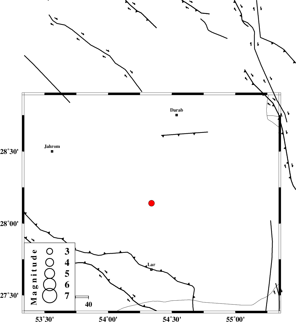
| Location | Lat:28.14 Lon: 54.34 |
| Region | Fars Province, 51 km North of Lar |
Nearest Cities |
|
| 19 km South of Shahr-e pir, Fars Province | |
| 25 km South of Hajiabad, Fars Province | |
| 33 km South East of Dabiran, Fars Province | |
| 33 km North of Dehkuyeh, Fars Province | |
| 46 km East of Juyam, Fars Province | |
| Depth | 14 km |
| Agency | |
Faults within 150 km: |
|
| BERIZ_F (Length: 49 km) , Distance to epicenter: 40 km | |
| HZF2 (Length: 437 km) , Distance to epicenter: 42 km | |
| HZF1 (Length: 102 km) , Distance to epicenter: 64 km | |
| Number of Phases | 5 |
| RMS | 0.8 |
| Number of Stations | 5 |
| Error in Latitude | >1 km |
| Error in Longitude | 0 km |
| Error in Depth | 3 km |
Download waveform in seisan format
to download seisan software Click here
to access information about IIEES stations Click here
Amplitude | ||||||||
| UID | Agency | Station | Component | Amplitude | Period | Arrival Time | Proccessing Time | Signal Clip |
| 147484 | IIEES SC | GHIR | Z | 43 | 1 | 2019-11-05 01:18:34 | 2019-11-05 11:22:00 | n |
| 147485 | IIEES SC | LMD1 | Z | 300 | 1 | 2019-11-05 01:18:41 | 2019-11-05 11:22:00 | n |
| 147486 | IIEES SC | KLNJ | Z | 12 | 1 | 2019-11-05 01:19:55 | 2019-11-05 11:22:00 | n |
| 147487 | IIEES SC | YZKH | Z | 5.1 | 1 | 2019-11-05 01:20:12 | 2019-11-05 11:22:00 | n |
| 147488 | IIEES SC | NASN | Z | 5 | 1 | 2019-11-05 01:20:07 | 2019-11-05 11:22:00 | n |
Phase | ||||||||||||
| Agency | Station | Component | Phase Type | Phase Quality | First Motion | Observed Arrival Time | Time Residual | Loc. Flag | Input Weight | Distance | Azimuth | |
| IIEES SC | GHIR | Z | IP | I | 2019-11-05 01:18:18 | 0.7 | y | 133 | 277 | |||
| IIEES SC | LMD1 | Z | IP | I | 2019-11-05 01:18:19 | -0.3 | y | 144 | 232 | |||
| IIEES SC | KLNJ | Z | IP | I | 2019-11-05 01:18:53 | -1.5 | y | 411 | 320 | |||
| IIEES SC | YZKH | Z | IP | I | 2019-11-05 01:19:03 | 0.8 | y | 467 | 3 | |||
| IIEES SC | NASN | Z | IP | I | 2019-11-05 01:19:10 | -0.2 | y | 533 | 344 | |||
کلیه حقوق مادی و معنوی این سایت متعلق به پژوهشگاه بین المللی زلزله شناسی و مهندسی زلزله می باشد.
