خانه / مشخصات زلزله
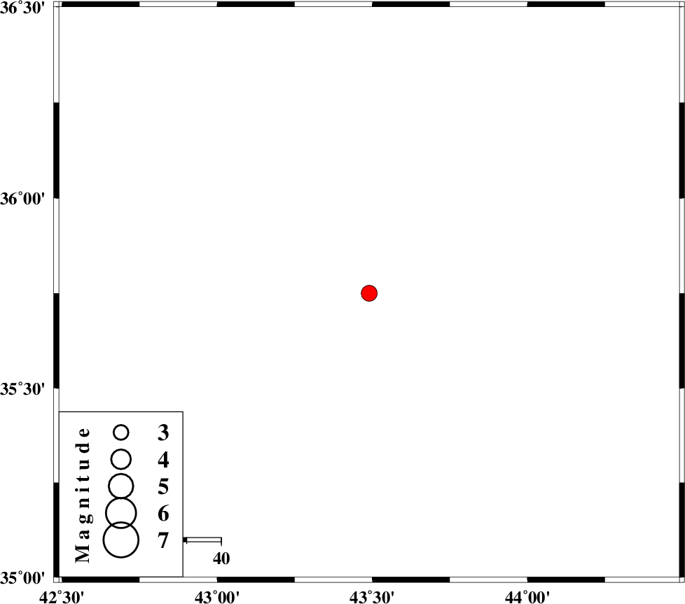
Magnitude |
:3.3 |
| Date & Time (UTC) | 2019-11-20 13:34:28.2 |
| Date & Time (Local) | 1398/8/29 17:04:28.2 |
| Location | Lat:35.75 Lon: 43.49 |
| Region | Iraq |
Nearest Cities |
|
| 177 km South West of Bivaran-e sofla, Azarbaijan Gharbi Province | |
| 177 km North West of Sulaymaniyah, Iraq Province | |
| 181 km South West of Kavir, Azarbaijan Gharbi Province | |
| 181 km South West of Chiyaneh, Azarbaijan Gharbi Province | |
| 182 km South West of Piranshahr, Azarbaijan Gharbi Province | |
| Depth | 10 km |
| Agency | |
Faults within 150 km: |
|
| Number of Phases | 7 |
| RMS | 0.4 |
| Number of Stations | 7 |
| Error in Latitude | >9 km |
| Error in Longitude | 0 km |
| Error in Depth | 10 km |
Download waveform in seisan format
to download seisan software Click here
to access information about IIEES stations Click here
Amplitude | ||||||||
| UID | Agency | Station | Component | Amplitude | Period | Arrival Time | Proccessing Time | Signal Clip |
| 148655 | IIEES SC | SRSL | Z | 340 | 1 | 2019-11-20 13:35:28 | 2019-11-23 10:26:00 | n |
| 148656 | IIEES SC | MAHB | Z | 210 | 1 | 2019-11-20 13:35:38 | 2019-11-23 10:26:00 | n |
| 148657 | IIEES SC | AZR | Z | 540 | 1 | 2019-11-20 13:36:08 | 2019-11-23 10:26:00 | n |
| 148658 | IIEES SC | SNGE | Z | 39 | 1 | 2019-11-20 13:36:14 | 2019-11-23 10:26:00 | n |
| 148659 | IIEES SC | GRMI | Z | 8.4 | 1 | 2019-11-20 13:37:07 | 2019-11-23 10:26:00 | n |
Phase | ||||||||||||
| Agency | Station | Component | Phase Type | Phase Quality | First Motion | Observed Arrival Time | Time Residual | Loc. Flag | Input Weight | Distance | Azimuth | |
| IIEES SC | SRSL | Z | IP | I | 2019-11-20 13:34:58 | 0.3 | y | 177 | 74 | |||
| IIEES SC | MAHB | N | IS | I | 2019-11-20 13:35:32 | -0.2 | y | 233 | 60 | |||
| IIEES SC | MAHB | Z | IP | I | 2019-11-20 13:35:04 | -0.5 | y | 233 | 60 | |||
| IIEES SC | AZR | N | IS | I | 2019-11-20 13:35:51 | 1.7 | y | 311 | 46 | |||
| IIEES SC | AZR | Z | IP | I | 2019-11-20 13:35:15 | 0.6 | y | 311 | 46 | |||
| IIEES SC | SNGE | Z | IP | I | 2019-11-20 13:35:21 | 0 | y | 355 | 102 | |||
| IIEES SC | GRMI | Z | IP | I | 2019-11-20 13:35:39 | -0.9 | y | 522 | 49 | |||
کلیه حقوق مادی و معنوی این سایت متعلق به پژوهشگاه بین المللی زلزله شناسی و مهندسی زلزله می باشد.
