خانه / مشخصات زلزله
Magnitude |
:2.9 |
| Date & Time (UTC) | 2019-11-24 02:11:50.0 |
| Date & Time (Local) | 1398/9/3 05:41:50.0 |
| Location | Lat:29.72 Lon: 57.88 |
| Region | Kerman Province, 82 km North-West of Bam |
Nearest Cities |
|
| 20 km South of Golbaft, Kerman Province | |
| 29 km South West of Geshit, Kerman Province | |
| 41 km North East of Dehmirza, Kerman Province | |
| 45 km North East of Rain, Kerman Province | |
| 50 km South East of Jushan, Kerman Province | |
| Depth | 14 km |
| Agency | |
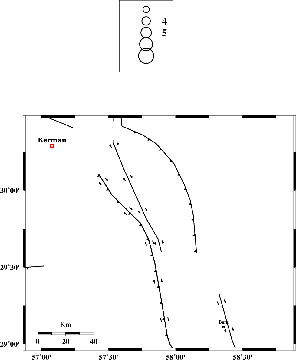
Faults within 150 km: |
|
| GOLBAF_SIRCH_F (Length: 114 km) , Distance to epicenter: 4 km | |
| GOWK_F (Length: 152 km) , Distance to epicenter: 9 km | |
| SHAHDAD_F (Length: 108 km) , Distance to epicenter: 28 km | |
| Number of Phases | 5 |
| RMS | 0.2 |
| Number of Stations | 5 |
| Error in Latitude | >4 km |
| Error in Longitude | 0 km |
| Error in Depth | 8 km |
Download waveform in seisan format
to download seisan software Click here
to access information about IIEES stations Click here
Amplitude | ||||||||
| UID | Agency | Station | Component | Amplitude | Period | Arrival Time | Proccessing Time | Signal Clip |
| 148810 | IIEES SC | KRBR | Z | 340 | 1 | 2019-11-24 02:12:25 | 2019-11-24 09:58:00 | n |
| 148811 | IIEES SC | BNDS | Z | 17 | 1 | 2019-11-24 02:13:44 | 2019-11-24 09:58:00 | n |
| 148812 | IIEES SC | YZKH | Z | 12 | 1 | 2019-11-24 02:14:09 | 2019-11-24 09:58:00 | n |
| 148813 | IIEES SC | TABS | Z | 17 | 1 | 2019-11-24 02:13:40 | 2019-11-24 09:58:00 | n |
| 148814 | IIEES SC | GHIR | Z | 2.3 | 1 | 2019-11-24 02:14:05 | 2019-11-24 09:58:00 | n |
Phase | ||||||||||||
| Agency | Station | Component | Phase Type | Phase Quality | First Motion | Observed Arrival Time | Time Residual | Loc. Flag | Input Weight | Distance | Azimuth | |
| IIEES SC | KRBR | Z | IP | I | 2019-11-24 02:12:09 | 0.1 | y | 111 | 285 | |||
| IIEES SC | BNDS | Z | IP | I | 2019-11-24 02:12:36 | 0.1 | y | 311 | 213 | |||
| IIEES SC | YZKH | Z | IP | I | 2019-11-24 02:12:51 | 0.1 | y | 433 | 313 | |||
| IIEES SC | TABS | Z | IP | I | 2019-11-24 02:12:52 | -0.1 | y | 444 | 351 | |||
| IIEES SC | GHIR | Z | IP | I | 2019-11-24 02:12:59 | -0.3 | y | 500 | 252 | |||
کلیه حقوق مادی و معنوی این سایت متعلق به پژوهشگاه بین المللی زلزله شناسی و مهندسی زلزله می باشد.
