خانه / مشخصات زلزله
Magnitude |
:3 |
| Date & Time (UTC) | 2021-04-05 17:13:32.6 |
| Date & Time (Local) | 1400/1/16 21:43:32.6 |
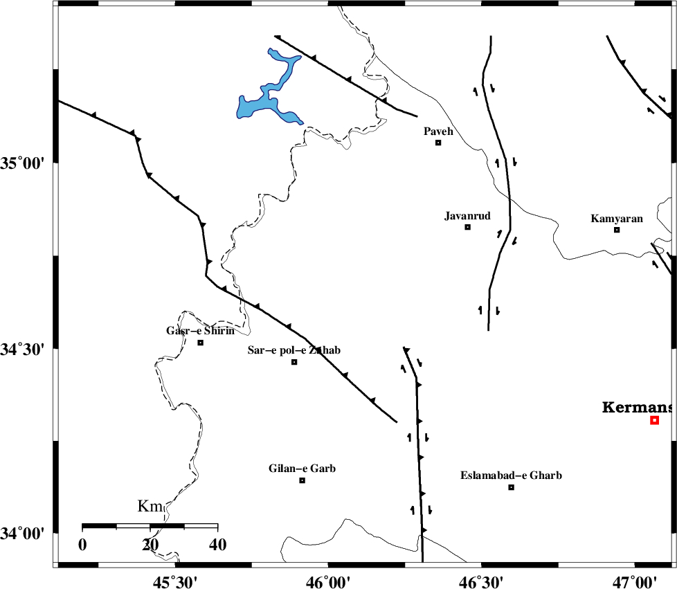
| Location | Lat:34.67 Lon: 46.119 |
| Region | Kermanshah Province, 28 km -East of Tazehabad |
Nearest Cities |
|
| 7 km of Qolqoleh, Kermanshah Province | |
| 17 km West of Mirabad, Kermanshah Province | |
| 19 km North East of Bazmirabad, Kermanshah Province | |
| 24 km South West of Shervineh, Kermanshah Province | |
| 24 km South East of Dehsheykh, Kermanshah Province | |
| Depth | 12 km |
| Agency | |
Faults within 150 km: |
|
| HZF4 (Length: 492 km) , Distance to epicenter: 14 km | |
| MFF8 (Length: 48 km) , Distance to epicenter: 30 km | |
| SARTAKHT_F (Length: 78 km) , Distance to epicenter: 67 km | |
| Number of Phases | 6 |
| RMS | 0.4 |
| Number of Stations | 6 |
| Error in Latitude | >3 km |
| Error in Longitude | 3 km |
| Error in Depth | 10.4 km |
Download waveform in seisan format
to download seisan software Click here
to access information about IIEES stations Click here
Amplitude | ||||||||
| UID | Agency | Station | Component | Amplitude | Period | Arrival Time | Proccessing Time | Signal Clip |
| 162410 | IIEES SC | ILBA | Z | 0.6 | 1 | 2021-04-05 17:13:52 | 2021-04-06 05:41:00 | n |
| 162411 | IIEES SC | SNGE | Z | 0.4 | 1 | 2021-04-05 17:13:52 | 2021-04-06 05:41:00 | n |
| 162412 | IIEES SC | ASAO | Z | 0.06 | 1 | 2021-04-05 17:14:25 | 2021-04-06 05:41:00 | n |
| 162413 | IIEES SC | GTMR | Z | 0.07 | 1 | 2021-04-05 17:14:26 | 2021-04-06 05:41:00 | n |
Phase | ||||||||||||
| Agency | Station | Component | Phase Type | Phase Quality | First Motion | Observed Arrival Time | Time Residual | Loc. Flag | Input Weight | Distance | Azimuth | |
| IIEES SC | ILBA | Z | EPg | E | 2021-04-05 17:13:52 | 0 | y | 0 | 116 | 176 | ||
| IIEES SC | SNGE | Z | EPg | E | 2021-04-05 17:13:52 | -0.5 | y | 0 | 122 | 67 | ||
| IIEES SC | AZR | Z | EPn | E | 2021-04-05 17:14:22 | -0.1 | y | 0 | 334 | 358 | ||
| IIEES SC | QABG | Z | EPn | E | 2021-04-05 17:14:23 | 0.7 | y | 0 | 336 | 70 | ||
| IIEES SC | ASAO | Z | EPn | E | 2021-04-05 17:14:25 | -0.2 | y | 0 | 358 | 92 | ||
| IIEES SC | GTMR | Z | EPn | E | 2021-04-05 17:14:26 | 0.3 | y | 0 | 370 | 131 | ||
کلیه حقوق مادی و معنوی این سایت متعلق به پژوهشگاه بین المللی زلزله شناسی و مهندسی زلزله می باشد.
