خانه / مشخصات زلزله
Magnitude |
:3.2 |
| Date & Time (UTC) | 2021-09-23 16:09:05.0 |
| Date & Time (Local) | 1400/7/1 19:39:05.0 |
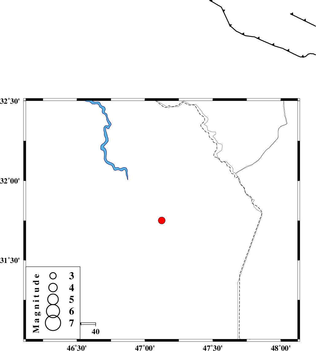
| Location | Lat:31.751 Lon: 47.124 |
| Region | Iraq |
Nearest Cities |
|
| 81 km North West of Bostan, Khoozestan Province | |
| 91 km South West of Musian, Ilam Province | |
| 96 km North West of Hoveizeh, Khoozestan Province | |
| 103 km North West of Susangerd, Khoozestan Province | |
| 106 km South West of Dehloran, Ilam Province | |
| Depth | 12 km |
| Agency | |
Faults within 150 km: |
|
| AHVAZ_F (Length: 99 km) , Distance to epicenter: 100 km | |
| MFF6 (Length: 144 km) , Distance to epicenter: 106 km | |
| BALARUD_F_Z1 (Length: 87 km) , Distance to epicenter: 135 km | |
| Number of Phases | 9 |
| RMS | 0.5 |
| Number of Stations | 9 |
| Error in Latitude | >7 km |
| Error in Longitude | 7 km |
| Error in Depth | 17.9 km |
Download waveform in seisan format
to download seisan software Click here
to access information about IIEES stations Click here
Amplitude | ||||||||
| UID | Agency | Station | Component | Amplitude | Period | Arrival Time | Proccessing Time | Signal Clip |
| 165289 | IIEES SC | GTMR | Z | 0.4 | 1 | 2021-09-23 16:09:38 | 2021-09-25 05:48:00 | n |
| 165290 | IIEES SC | SNGE | Z | 0.06 | 1 | 2021-09-23 16:09:58 | 2021-09-25 05:48:00 | n |
| 165291 | IIEES SC | SRSL | Z | 0.03 | 1 | 2021-09-23 16:10:18 | 2021-09-25 05:48:00 | n |
Phase | ||||||||||||
| Agency | Station | Component | Phase Type | Phase Quality | First Motion | Observed Arrival Time | Time Residual | Loc. Flag | Input Weight | Distance | Azimuth | |
| IIEES SC | GTMR | Z | EPn | E | 2021-09-23 16:09:38 | 0.1 | y | 0 | 204 | 67 | ||
| IIEES SC | ILBA | Z | EPn | E | 2021-09-23 16:09:40 | -0.7 | y | 0 | 225 | 338 | ||
| IIEES SC | KHMZ | Z | EPn | E | 2021-09-23 16:09:54 | -1.9 | n | 4 | 346 | 50 | ||
| IIEES SC | SNGE | Z | EPn | E | 2021-09-23 16:09:58 | -0.3 | y | 0 | 371 | 3 | ||
| IIEES SC | KLNJ | Z | EPn | E | 2021-09-23 16:10:06 | -0.5 | y | 0 | 433 | 101 | ||
| IIEES SC | GHVR | Z | EPn | E | 2021-09-23 16:10:14 | 0.8 | y | 0 | 489 | 52 | ||
| IIEES SC | QABG | Z | EPn | E | 2021-09-23 16:10:14 | 0.2 | y | 0 | 494 | 27 | ||
| IIEES SC | SRSL | Z | EPn | E | 2021-09-23 16:10:18 | 0.8 | y | 0 | 519 | 342 | ||
| IIEES SC | NASN | Z | EPn | E | 2021-09-23 16:10:21 | -0.2 | y | 0 | 548 | 78 | ||
کلیه حقوق مادی و معنوی این سایت متعلق به پژوهشگاه بین المللی زلزله شناسی و مهندسی زلزله می باشد.
