خانه / مشخصات زلزله
Magnitude |
:3.1 |
| Date & Time (UTC) | 2022-01-08 20:42:16.7 |
| Date & Time (Local) | 1400/10/19 00:12:16.7 |
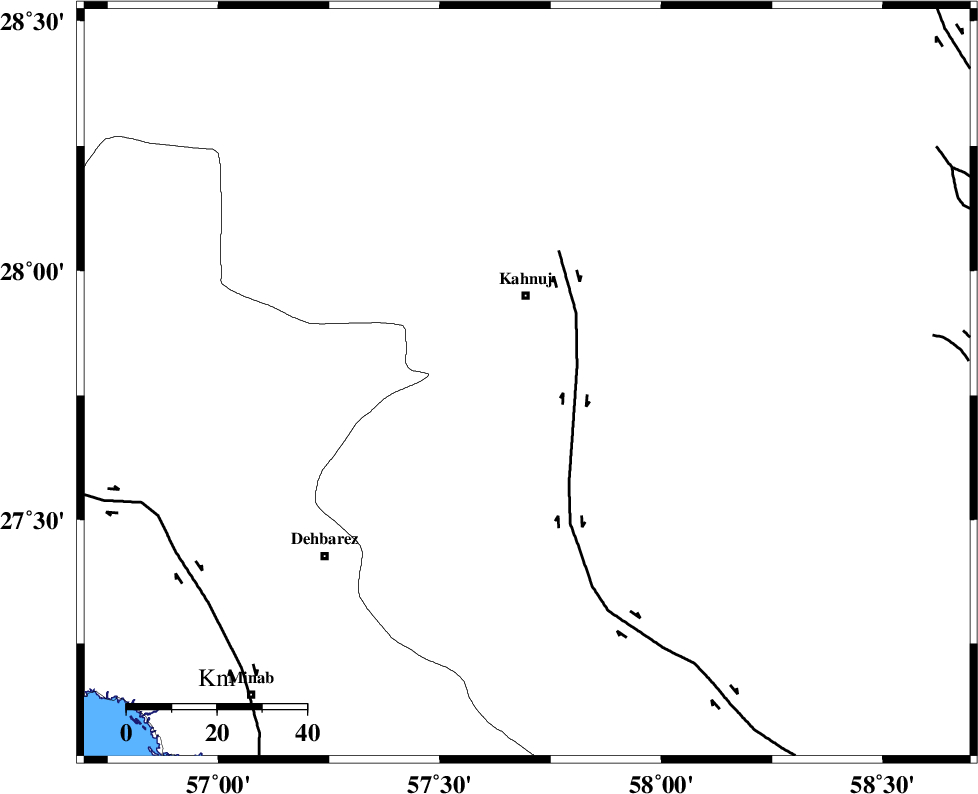
| Location | Lat:27.774 Lon: 57.697 |
| Region | Kerman Province, 20 km South of Kahnuj |
Nearest Cities |
|
| 16 km North of Bargah, Kerman Province | |
| 20 km South of Kahnuj, Kerman Province | |
| 30 km North East of Bejogan, Kerman Province | |
| 33 km North West of Qalehy-eganj, Kerman Province | |
| 36 km North East of Nodezh, Kerman Province | |
| Depth | 12 km |
| Agency | |
Faults within 150 km: |
|
| SABZEVARAN_F (Length: 190 km) , Distance to epicenter: 5 km | |
| JIROFT_F (Length: 144 km) , Distance to epicenter: 12 km | |
| ZENDAN_MINAB_F_Z1 (Length: 183 km) , Distance to epicenter: 71 km | |
| Number of Phases | 8 |
| RMS | 0.7 |
| Number of Stations | 8 |
| Error in Latitude | >7 km |
| Error in Longitude | 7 km |
| Error in Depth | 40.4 km |
Download waveform in seisan format
to download seisan software Click here
to access information about IIEES stations Click here
Amplitude | ||||||||
| UID | Agency | Station | Component | Amplitude | Period | Arrival Time | Proccessing Time | Signal Clip |
| 168010 | IIEES SC | BNDS | Z | 0.7 | 1 | 2022-01-08 20:42:41 | 2022-01-09 06:18:00 | n |
| 168011 | IIEES SC | BSRN | Z | 0.03 | 1 | 2022-01-08 20:43:25 | 2022-01-09 06:18:00 | n |
| 168012 | IIEES SC | YZKH | Z | 0.01 | 1 | 2022-01-08 20:43:39 | 2022-01-09 06:18:00 | n |
Phase | ||||||||||||
| Agency | Station | Component | Phase Type | Phase Quality | First Motion | Observed Arrival Time | Time Residual | Loc. Flag | Input Weight | Distance | Azimuth | |
| IIEES SC | BNDS | Z | EPg | E | 2022-01-08 20:42:41 | -0.9 | y | 0 | 156 | 255 | ||
| IIEES SC | JSSH | Z | EPn | E | 2022-01-08 20:42:51 | 0.6 | y | 0 | 209 | 188 | ||
| IIEES SC | KRBR | Z | EPn | E | 2022-01-08 20:42:58 | 0.8 | y | 0 | 261 | 340 | ||
| IIEES SC | SRVN | Z | EPn | E | 2022-01-08 20:43:22 | -0.6 | y | 0 | 466 | 95 | ||
| IIEES SC | GHIR | Z | EPn | E | 2022-01-08 20:43:21 | -0.7 | y | 0 | 467 | 277 | ||
| IIEES SC | BSRN | Z | EPn | E | 2022-01-08 20:43:25 | 0.5 | y | 0 | 485 | 17 | ||
| IIEES SC | YZKH | Z | EPn | E | 2022-01-08 20:43:39 | 0.9 | y | 0 | 593 | 330 | ||
| IIEES SC | KLNJ | Z | EPn | E | 2022-01-08 20:43:50 | -0.1 | n | 4 | 693 | 301 | ||
کلیه حقوق مادی و معنوی این سایت متعلق به پژوهشگاه بین المللی زلزله شناسی و مهندسی زلزله می باشد.
