خانه / مشخصات زلزله
Magnitude |
:3.7 |
| Date & Time (UTC) | 2022-08-19 04:02:15.2 |
| Date & Time (Local) | 1401/5/28 08:32:15.2 |
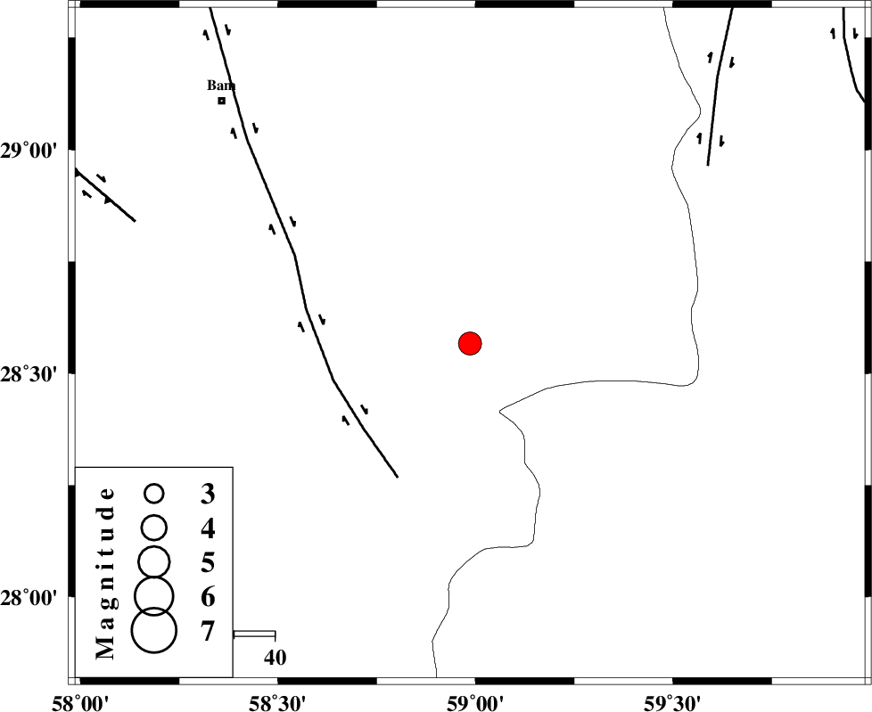
| Location | Lat:28.567 Lon: 58.986 |
| Region | Kerman Province, 86 km South-East of Bam |
Nearest Cities |
|
| 17 km South of Hoseynabad, Kerman Province | |
| 20 km South East of Mohammadabad-e gonbaki, Kerman Province | |
| 35 km South of Void, Kerman Province | |
| 44 km South of Fahroj, Kerman Province | |
| 55 km South East of Qasemabad, Kerman Province | |
| Depth | 12 km |
| Agency | |
Faults within 150 km: |
|
| BAM_F (Length: 118 km) , Distance to epicenter: 34 km | |
| KANURAK_F (Length: 135 km) , Distance to epicenter: 73 km | |
| GOWK_F (Length: 152 km) , Distance to epicenter: 88 km | |
| Number of Phases | 10 |
| RMS | 0.3 |
| Number of Stations | 10 |
| Error in Latitude | >1.5 km |
| Error in Longitude | 1.5 km |
| Error in Depth | 372.8 km |
Download waveform in seisan format
to download seisan software Click here
to access information about IIEES stations Click here
Amplitude | ||||||||
| UID | Agency | Station | Component | Amplitude | Period | Arrival Time | Proccessing Time | Signal Clip |
| 172885 | IIEES SC | KRBR | Z | 0.7 | 1 | 2022-08-19 04:02:55 | 2022-08-20 04:06:00 | n |
| 172886 | IIEES SC | BSRN | Z | 0.2 | 1 | 2022-08-19 04:03:09 | 2022-08-20 04:06:00 | n |
| 172887 | IIEES SC | YZKH | Z | 0.05 | 1 | 2022-08-19 04:03:38 | 2022-08-20 04:06:00 | n |
| 172888 | IIEES SC | KLNJ | Z | 0.02 | 1 | 2022-08-19 04:03:58 | 2022-08-20 04:06:00 | n |
Phase | ||||||||||||
| Agency | Station | Component | Phase Type | Phase Quality | First Motion | Observed Arrival Time | Time Residual | Loc. Flag | Input Weight | Distance | Azimuth | |
| IIEES SC | KRBR | Z | EPn | E | 2022-08-19 04:02:55 | -0.7 | y | 0 | 267 | 306 | ||
| IIEES SC | BNDS | Z | EPn | E | 2022-08-19 04:03:01 | 0.1 | y | 0 | 306 | 245 | ||
| IIEES SC | SRVN | Z | EPn | E | 2022-08-19 04:03:07 | -0.1 | y | 0 | 360 | 111 | ||
| IIEES SC | BSRN | Z | EPn | E | 2022-08-19 04:03:09 | -0.2 | y | 0 | 377 | 2 | ||
| IIEES SC | MEH | Z | EPn | E | 2022-08-19 04:03:38 | 9.7 | n | 4 | 525 | 307 | ||
| IIEES SC | SHRT | Z | EPn | E | 2022-08-19 04:03:35 | 0.5 | y | 0 | 577 | 12 | ||
| IIEES SC | GHIR | Z | EPn | E | 2022-08-19 04:03:36 | 0 | y | 0 | 589 | 267 | ||
| IIEES SC | TABS | Z | EPn | E | 2022-08-19 04:03:36 | -0.2 | y | 0 | 591 | 342 | ||
| IIEES SC | YZKH | Z | EPn | E | 2022-08-19 04:03:38 | 0.4 | y | 0 | 598 | 315 | ||
| IIEES SC | KLNJ | Z | EPn | E | 2022-08-19 04:03:58 | 0.3 | y | 0 | 764 | 291 | ||
کلیه حقوق مادی و معنوی این سایت متعلق به پژوهشگاه بین المللی زلزله شناسی و مهندسی زلزله می باشد.
