سبد خرید خالی است.
خانه / مشخصات زلزله
Magnitude |
:2.7 |
| Date & Time (UTC) | 2014-02-01 18:43:24.4 |
| Date & Time (Local) | 1392/11/12 22:13:24.4 |
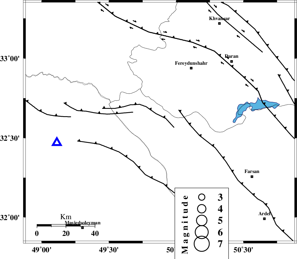
| Location | Lat:32.6 Lon: 49.88 |
| Region | Chaharmahal Bakhtiari Province, 27 km North-West of Chelgard |
Nearest Cities |
|
| 11 km of Durak, Chaharmahal Bakhtiari Province | |
| 27 km North West of Chelgard, Chaharmahal Bakhtiari Province | |
| 28 km South of Masir, Esfahan Province | |
| 36 km South West of Ghale? sorkh, Esfahan Province | |
| 36 km South West of Sibak, Esfahan Province | |
| Depth | 15 km |
| Agency | |
Faults within 150 km: |
|
| ARDAL_F (Length: 170 km) , Distance to epicenter: 4 km | |
| ZARDKUH_F (Length: 139 km) , Distance to epicenter: 14 km | |
| MAIN_ZAGROS_R_F (Length: 1106 km) , Distance to epicenter: 24 km | |
| Number of Phases | 3 |
| RMS | 0 |
| Number of Stations | 3 |
| Error in Latitude | >3.8 km |
| Error in Longitude | 5.1 km |
| Error in Depth | 0 km |
Download waveform in seisan format
to download seisan software Click here
to access information about IIEES stations Click here
Amplitude | ||||||||
| UID | Agency | Station | Component | Amplitude | Period | Arrival Time | Proccessing Time | Signal Clip |
| 91689 | IIEES | SHGR | N | 209.3 | 0.36 | 2014-02-01 18:44:02 | 2014-02-01 07:08:00 | n |
| 91690 | IIEES | SHGR | E | 187.5 | 0.32 | 2014-02-01 18:44:05 | 2014-02-01 07:08:00 | n |
Phase | ||||||||||||
| Agency | Station | Component | Phase Type | Phase Quality | First Motion | Observed Arrival Time | Time Residual | Loc. Flag | Input Weight | Distance | Azimuth | |
| IIEES | SHGR | Z | Pg | E | 2014-02-01 18:43:43 | 0 | y | 115 | 242 | |||
| IIEES | KHMZ | Z | Pg | E | 2014-02-01 18:43:45 | 0 | y | 127 | 3 | |||
| IIEES | GHVR | Z | Pn | E | 2014-02-01 18:44:02 | 0.01 | y | 244 | 31 | |||
کلیه حقوق مادی و معنوی این سایت متعلق به پژوهشگاه بین المللی زلزله شناسی و مهندسی زلزله می باشد.
