| Prel. Rep. | Date | Time(UTC) | Time(Local) | Lat. | Lon. | Depth | Mag. | Region | Waveform |
|
|
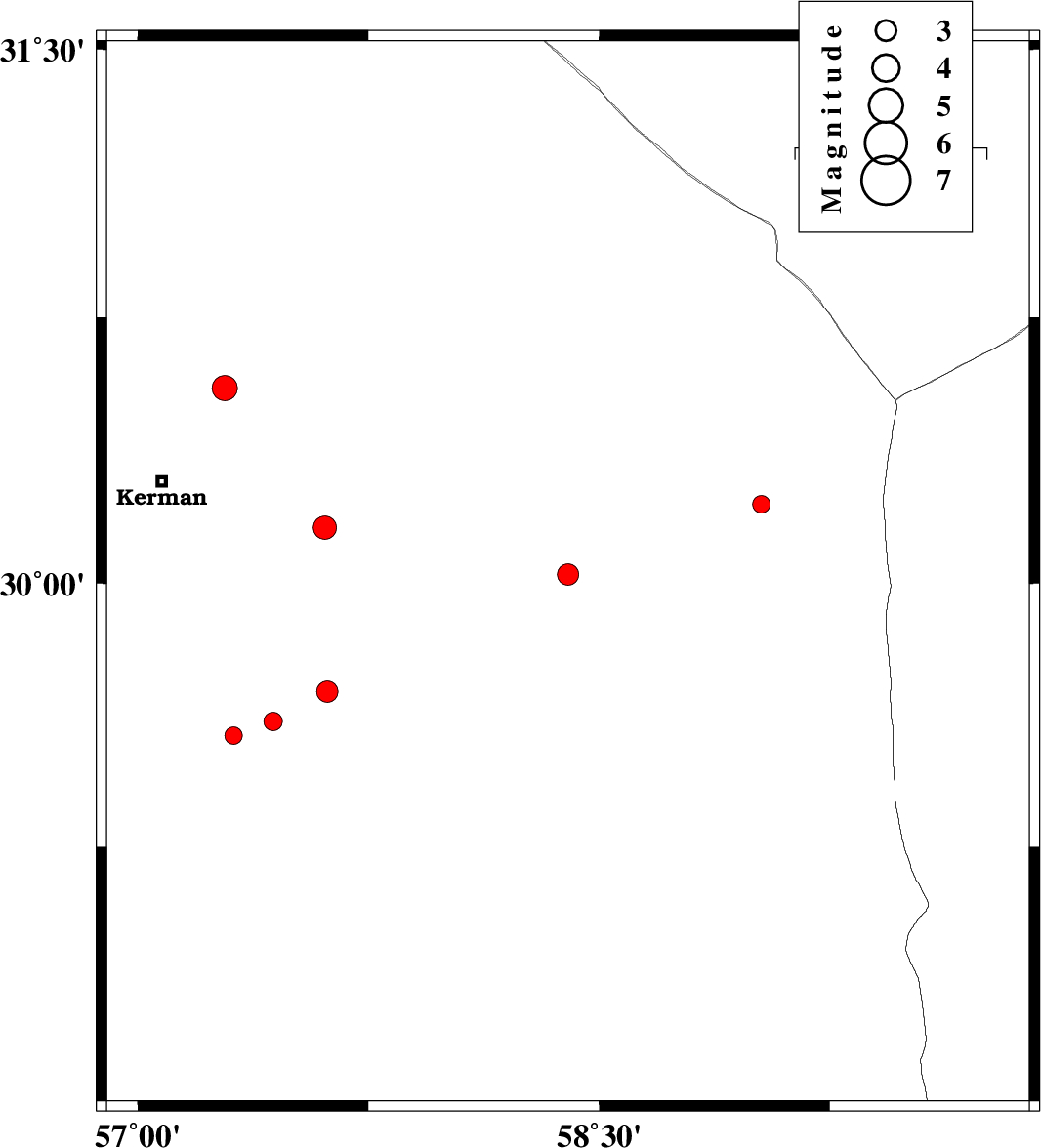
2017/05/01
|
09:45:08.8
|
14:15:08.8
| 30.024 | 58.399 | 15 |
ML3.1
|
Kerman Province, 102 km North of Bam | |
|
|
2017/04/25
|
23:52:20.9
|
04:22:20.9
| 30.223 | 59.028 | 14 |
ML2.5
|
Kerman Province, 140 km North-East of Bam | |
|
|
2017/04/23
|
22:30:11.1
|
03:00:11.1
| 29.608 | 57.44 | 0 |
ML2.7
|
Kerman Province, 83 km South-East of Kerman | |
|
|
2017/04/23
|
22:04:25.1
|
02:34:25.1
| 29.568 | 57.311 | 14 |
ML2.5
|
Kerman Province, 83 km South-East of Kerman | |
|
|
2017/04/20
|
05:40:16.7
|
10:10:16.7
| 30.55 | 57.283 | 15 |
ML3.6
|
Kerman Province, 35 km North-East of Kerman | |
|
|
2017/04/06
|
19:51:26.9
|
00:21:26.9
| 31.133 | 59.573 | 14 |
ML3.3
|
Khorasan(south) Province, 63 km South-West of Nehbandan | |
|
|
2017/04/06
|
12:09:42.8
|
16:39:42.8
| 30.157 | 57.609 | 14 |
ML3.4
|
Kerman Province, 53 km South-East of Kerman | |
|
|
2017/04/02
|
14:29:52.1
|
18:59:52.1
| 29.692 | 57.617 | 14 |
ML3.1
|
Kerman Province, 84 km South-East of Kerman | |